

The Cradle of Tennessee Democracy
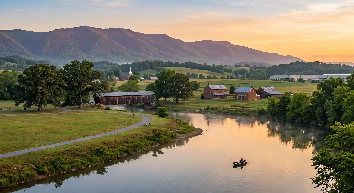
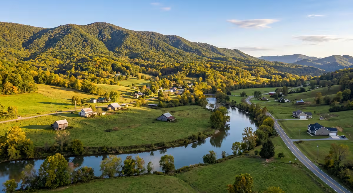
To build a solid house, you have to understand the ground beneath it. The same principle applies to understanding a community. When you look across Carter County, TN, you see steep mountain ridges, fertile river bottoms, and valleys that have channeled human ambition for hundreds of years. The story of Northeast Tennessee did not start in big commercial hubs or state capitals. It started right here along the banks of the Watauga River and the Doe River.
Long before roads were paved or county boundaries were marked on a survey map, this landscape dictated where people could build and survive. The Blue Ridge Mountains rise sharply to the east and south, while the Iron Mountain range forms a rugged natural wall that shelters the interior valleys. Waterways like the Watauga River, the Doe River, Stony Creek, and Buffalo Creek cut natural paths through the stone. These corridors provided clean drinking water, fertile topsoil for agriculture, and moving water to turn mill wheels.
Carter County, TN represents more than just pretty mountain scenery. It is the place where independent American self-government took its first steps west of the Appalachian Mountains. Settlers here faced wilderness, harsh winters, and political isolation. Instead of waiting for distant governments to help them, they organized their own legal courts, drafted their own laws, raised their own militia, and constructed durable timber homes. That frontier spirit, combined with practical engineering, built the foundation of Carter County, TN.
Indigenous Roots and Early Frontier Settlement (Pre-1770s)
Before European axes cut timber along the river bottoms, the land of Carter County, TN was part of a wide network of Native American travel routes and seasonal hunting territories. The Cherokee people held ancestral claims to these mountains and valleys. They called the area home, using the river shoals as natural fish traps and river crossings.
The Cherokee lived primarily in established towns along the Little Tennessee and Hiwassee rivers to the southwest, known as the Overhill settlements. However, the rich valleys of Carter County, TN served as an essential hunting territory filled with white-tailed deer, black bear, elk, and wild turkey. The Great Indian Warpath and connected hunting trails ran through these gaps and valleys, linking tribes from the north and south.
In 1763, the British Crown issued the Royal Proclamation following the French and Indian War. King George III drew a line along the crest of the Appalachian Mountains. He forbade British subjects from purchasing land or settling west of that ridge line, reserving the western lands for Native American tribes. But early frontier families were hungry for land and freedom. They saw fertile soil and vast timber stands across the mountains, and they chose to cross the high gaps anyway.
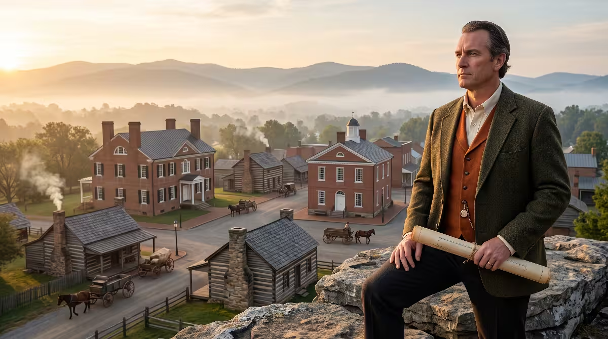
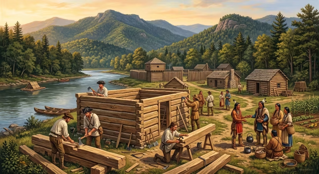
By the late 1760s, the first permanent English-speaking settlers began setting up homesteads in Carter County, TN. Men like William Bean arrived around 1769, clearing land and building a log cabin along Boone’s Creek near the Watauga River. Other frontiersmen, including James Robertson and Valentine Sevier, Sr., soon followed. They brought their families, pack horses, seed corn, and basic carpentry hand tools.
Building a life here required serious physical labor and practical knowledge of timber framing. Settlers felled virgin white oak, poplar, and chestnut trees. They used broadaxes to hand-hew the logs into flat timbers, notched the corners with simple dovetail or saddle joints to shed rainwater, and raised four solid walls. Every cabin was both a family home and a defensive outpost. These early settlers in Carter County, TN were entirely on their own, miles away from British courts, sheriffs, or military garrisons.
The Watauga Association and Sycamore Shoals (1772–1776)
By 1771, a royal survey revealed that these new settlements were north of the line separating Virginia from North Carolina, placing them technically inside North Carolina territory and outside British royal protection. The British Superintendent of Indian Affairs ordered the settlers to abandon their homesteads and move back east across the mountains. The settlers refused to leave the land they had cleared with their own hands.
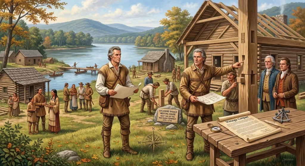
In May 1772, the settlers met at Sycamore Shoals, a shallow rocky crossing on the Watauga River located in present-day Carter County, TN. Rather than living as outlaws or squatters, they took a bold legal step. They negotiated a ten-year lease directly with Cherokee leaders for the land along the Watauga River.
To govern themselves, they drafted the Articles of the Watauga Association. This document established the very first written, independent constitutional government formed by American-born settlers. The compact created a court of five elected commissioners who held full executive, legislative, and judicial powers. They recorded land deeds, settled boundary disputes, issued marriage licenses, and punished criminals.
British colonial leaders were stunned by this move. Lord Dunmore, the Royal Governor of Virginia, wrote with alarm that this independent compact set a “dangerous example” to the rest of the American colonies. He saw clearly that common frontier carpenters, farmers, and hunters could run their own civil society without a king or royal charter. This bold experiment made Carter County, TN a true cradle of American self-government.
Three years later, in March 1775, Sycamore Shoals served as the meeting ground for one of the largest real estate deals in North American history: the Transylvania Purchase. Judge Richard Henderson of North Carolina met with over a thousand Cherokee, including prominent leaders such as Attakullakulla, Oconostota, and Savanukah. Henderson traded six wagonloads of trade goods, guns, and cloth for approximately twenty million acres of land spanning much of present-day Kentucky and middle Tennessee.
Not all Cherokee approved of giving away ancestral hunting grounds. A fierce young war chief named Dragging Canoe strongly opposed the sale. He gave a passionate speech warning the white settlers that they had purchased a “dark and bloody ground” and promised to make their settlement difficult. Following this treaty, settlers in Carter County, TN also converted their ten-year lease on the Watauga lands into an outright land purchase, securing clear title to their farms and homesteads.
Tensions erupted into open warfare in the summer of 1776, right as the American colonies declared their independence from Great Britain. Cherokee war parties aligned with the British launched simultaneous attacks on frontier settlements. Warning of the impending raid reached the settlers thanks to Nancy Ward, the Beloved Woman of the Cherokee, who favored peace.
Settlers rushed to nearby stockades. The primary fortification along the Watauga River was Fort Caswell, commonly remembered as Fort Watauga, located at Sycamore Shoals in Carter County, TN. Approximately two hundred men, women, and children took shelter behind its heavy timber palisades. Under the steady leadership of James Robertson and Lieutenant John Sevier, the defenders held off a siege by several hundred warriors led by Old Abraham of Chilhowee for roughly two weeks.
The siege tested the settlers to their absolute limits. It was during this siege that Catherine Sherrill, fleeing toward the fort gate during a surprise morning assault, found herself locked out. John Sevier reached down over the top of the timber stockade wall, pulled her up to safety, and later married her. The successful defense of Fort Watauga kept the frontier line from breaking and preserved American control over Carter County, TN during the opening months of the American Revolution.
The Overmountain Men and The Turning Point of the Revolution (1780)
By 1780, the Revolutionary War in the northern colonies had reached a bloody stalemate. British military planners shifted their focus south, capturing Savannah and Charleston and routing American forces at the Battle of Camden. British Major Patrick Ferguson commanded a strong loyalist force assigned to protect the left flank of Lord Cornwallis’s army as it moved through North Carolina.
Ferguson grew frustrated by frontier militia who continually harassed British supply lines. He sent a captured prisoner across the Blue Ridge Mountains with a harsh ultimatum directed at the frontier settlements: if they did not lay down their arms and stop their opposition to the British Crown, he would march his army over the mountains, hang their leaders, and lay waste to their settlements with fire and sword.
He picked the wrong fight. Rather than waiting for Ferguson to cross the mountains, frontier leaders acted decisively. Colonel John Sevier of Carter County, TN, Colonel Isaac Shelby of Sullivan County, and Colonel William Campbell of Southwest Virginia agreed to assemble their volunteer militias, cross the high mountain gaps, and take the fight directly to Ferguson.
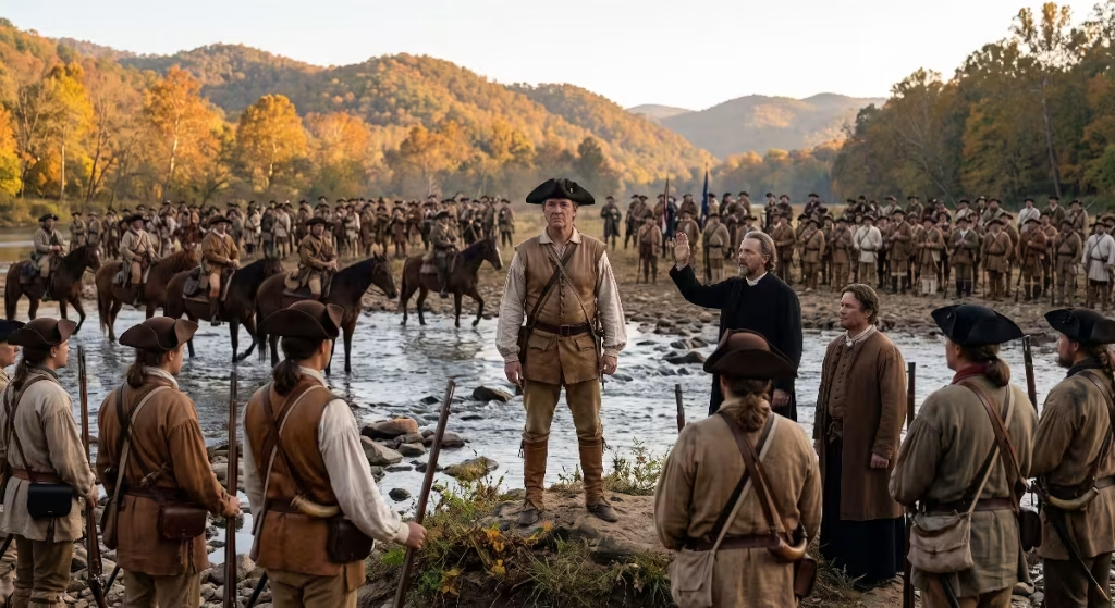
On September 25, 1780, over one thousand frontiersmen assembled at Sycamore Shoals in Carter County, TN. These volunteers were known as the Overmountain Men. They wore hand-loomed homespun hunting shirts, carried long rifles, rode sturdy mountain horses, and brought their own gunpowder and lead shot. They were frontiersmen who knew how to shoot, track game, and navigate wilderness terrain.
Before they rode out, Reverend Samuel Doak, a pioneering Presbyterian minister, gathered the crowd on the river flats of Carter County, TN. He delivered an impassioned sermon asking for divine protection and challenged the men with a ringing biblical battle cry: “The sword of the Lord and of Gideon!”
The Overmountain Men rode south and east through rugged mountain terrain. They crossed the high ridge near Roan Mountain in Carter County, TN, traversing Yellow Mountain Gap in deep autumn snow. They stored their precious black powder dry inside the rocky overhangs of Shelving Rock to protect it from freezing rain and damp mountain mist.
On October 7, 1780, they caught up with Ferguson’s loyalist army entrenched atop Kings Mountain, South Carolina. The loyalists held the high ground with fixed bayonets, but the mountain militia used frontier tactics. Moving from tree to tree, boulder to boulder, the Overmountain Men encircled the hill and fired their accurate long rifles with devastating precision.
In little more than an hour, the battle was over. Major Ferguson was killed, his entire force was either dead or captured, and the British southern campaign was broken. Thomas Jefferson later identified the victory at Kings Mountain as “the joy-giving turn of the tide of success which terminated the Revolutionary War.” That historic march began right on the river banks of Carter County, TN.
Formation of Carter County and Architectural Heritage (1796–Antebellum Era)

Following the Revolutionary War, the frontier territory transitioned through rapid administrative changes. For a short time, between 1784 and 1788, the region formed part of the State of Franklin, an unrecognized state led by John Sevier that sought separate statehood from North Carolina. When the State of Franklin dissolved, the territory was organized by the federal government into the Southwest Territory.
In 1796, Tennessee was admitted into the Union as the sixteenth state. That same year, the Tennessee General Assembly officially created Carter County, TN, carving it out of the eastern portion of Washington County. The legislature named the new county in honor of General Landon Carter. Landon Carter was a respected soldier, farmer, and statesman who had served as Speaker of the Senate for the State of Franklin and as treasurer of the Washington District.
The county seat was named Elizabethton in honor of Landon Carter’s wife, Elizabeth MacLin Carter. In 1797, town lots were surveyed, sold, and deeded along the flat land where the Doe River empties into the Watauga River, creating an organized municipal center for Carter County, TN.
The physical structures built during this period tell a clear story of how life matured from primitive frontier defense to lasting architectural sophistication. Carter County, TN is home to two of the most significant historic residential structures in the state of Tennessee.
The Carter Mansion, built between 1775 and 1780 by John Carter and his son Landon Carter, stands as the oldest remaining frame house in Tennessee. Most frontier families at that time lived in rough, dirt-floored log cabins. The Carters, however, built a substantial two-story home using heavy timber framing, hand-split weatherboarding, and raised interior paneling.
Inside the home, the walls and mantels feature fine hand-carved details and decorative over-mantel landscape paintings executed directly onto wood paneling. The structure sits on a cut-limestone foundation and contains large stone masonry fireplaces. From an engineering and carpentry standpoint, the framing joints and surviving floor joists demonstrate that the builders brought advanced building knowledge to the frontier of Carter County, TN.
A short drive away stands Sabine Hill, constructed around 1818 for Mary Patton Taylor, widow of Brigadier General Nathaniel Taylor. Nathaniel Taylor was a prominent military figure who served in the War of 1812 and established a leading family political dynasty in Carter County, TN.
Sabine Hill is a premier example of Federal-style architecture adapted to the mountain frontier. Unlike earlier defensive log homes, Sabine Hill was built with an emphasis on symmetry, generous ceiling heights, tall multipane double-hung sash windows, and refined classical moldings. The home shows that by the early nineteenth century, families in Carter County, TN were investing in formal architectural design, fine woodwork, and permanent estate planning.
As agriculture expanded, water power drove the early economy of Carter County, TN. Matthew Talbott and Baptist McNabb built some of the earliest grist mills on local creeks to grind corn and wheat. Iron ore deposits discovered in the surrounding hills gave rise to small bloomeries and forges along Stony Creek and the Doe River. Skilled blacksmiths and ironmasters utilized local timber for charcoal, mountain water for wheel power, and native iron ore to manufacture horseshoes, nails, wagon tires, and hand tools.
Civil War Divisions and The Railroad Era (1860–1900)
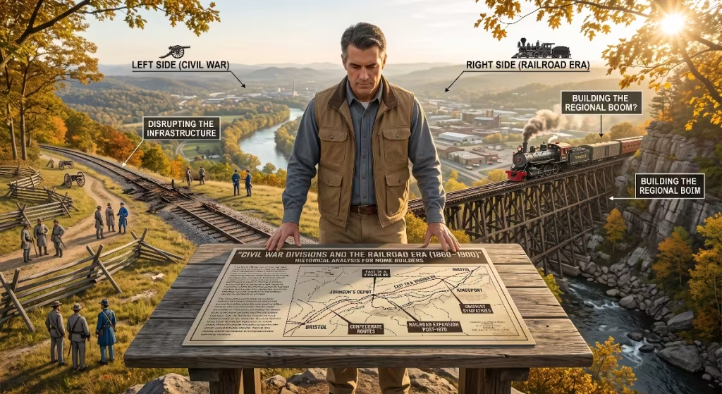
The mid-nineteenth century brought deep political and military strife to Carter County, TN. When the Civil War broke out in 1861, Tennessee voted to secede from the Union and join the Confederacy. However, the mountainous terrain of East Tennessee had very few large plantations and relied little on slave labor. Most residents were independent small farmers, millers, and timbermen.
The people of Carter County, TN remained fiercely loyal to the United States. In the state referendum on secession held in June 1861, Carter County voted against secession by an overwhelming majority, casting more than ten pro-Union votes for every one pro-Confederate vote.
This loyalty created intense danger. Confederate military units occupied East Tennessee to control the vital East Tennessee and Virginia Railroad line running through nearby Johnson City and Bristol. Union loyalists across Carter County, TN organized underground resistance networks. In November 1861, local Unionists participated in the East Tennessee bridge-burning conspiracy, targeting railroad bridges across the region to delay Confederate troop movements.
Throughout the war, Carter County, TN saw frequent skirmishes, guerrilla ambushes, and cavalry raids rather than massive set-piece battles. In December 1862, Union General Samuel P. Carter, a native of Elizabethton who achieved the unique distinction of holding flag rank as both a Major General in the Army and a Rear Admiral in the Navy, led Carter’s Raid. His cavalry forces penetrated deep behind Confederate lines, destroying key railroad bridges across the Holston and Watauga rivers. Many young men from Carter County, TN walked through high, snowbound mountain passes into Kentucky to enlist in the Union Army.
After the end of the Civil War, the region turned its attention to rebuilding its economy. The rugged terrain that had long isolated Carter County, TN became a source of industrial wealth, thanks to the expansion of railroads.
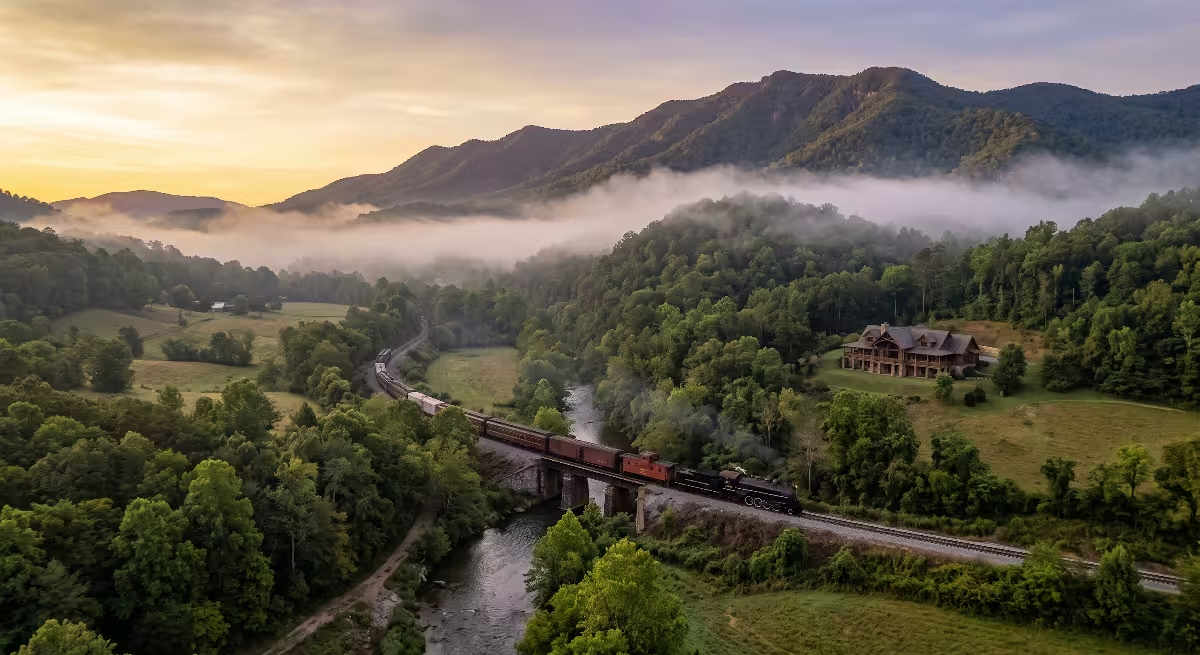
In the late 1870s and 1880s, the East Tennessee and Western North Carolina Railroad, universally known as “Tweetsie”, began laying narrow-gauge rail tracks through Carter County, TN. The railroad connected Johnson City with the rich Cranberry iron ore mines located just across the North Carolina state border.
Building a rail line through the sheer rock walls of the Doe River Gorge was an incredible feat of civil engineering. Railroad crews cut tunnels through solid mountain stone and constructed wooden trestles across narrow canyons. Tweetsie became the lifeline of Carter County, TN, carrying iron ore, hardwood lumber, agricultural goods, and passengers between mountain hollows and national markets.
Municipal improvements in town centers reflected this growing economic confidence. In 1882, the Carter County court approved three thousand dollars to construct a bridge across the Doe River in downtown Elizabethton. The county hired master carpenter and bridge architect Dr. E.E. Hunter to supervise the build.
Hunter used a Howe truss design, combining heavy wooden diagonal cross-braces with vertical wrought-iron tension rods. The bridge was framed with heavy yellow pine timbers and completely enclosed with wood siding and a shingle roof to protect the structural load-bearing trusses from moisture and rot.
The Elizabethton Covered Bridge spans 137 feet across the Doe River in Carter County, TN. Its engineering strength was proven during the catastrophic May flood of 1901. Raging floodwaters swept away nearly every other bridge along the river, but the covered bridge stood firm, held down by its solid timber mass, broad foundations, and smart hydraulic clearance. Today, it remains the oldest operational covered bridge in Tennessee.
20th-Century Industrial Boom, Labor, and The TVA Transformation
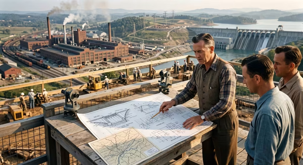
The twentieth century brought sweeping technological and economic changes to Carter County, TN, transforming quiet agricultural river bottoms into bustling manufacturing centers.
In the mid-1920s, German textile investors selected Elizabethton as the site for two massive rayon manufacturing facilities: the American Bemberg Company, opened in 1925, and the American Glanzstoff Corporation, opened in 1927. The companies chose Carter County, TN because of its direct railroad connections, low local tax rates, abundant white mountain timber for cellulose production, and clean, cold water from the Doe and Watauga rivers.
The plants produced artificial silk, providing thousands of jobs for men and women from mountain farms across Carter County, TN. But the work was physically grueling. Workers faced long ten-hour shifts, low wages, strict company discipline, and exposure to toxic chemical fumes like carbon disulfide and sulfuric acid.
In March 1929, simmering frustration exploded into one of the most famous labor struggles in American history: the 1929 Elizabethton Rayon Mill Strikes. The strike was sparked not by outside union officials, but by local female workers, often called the “factory girls,” led by young women like Margaret Bowen. Over five thousand workers walked off the job, demanding fair pay and safer working conditions.
The strike made national news. Tennessee Governor Henry Horton dispatched the state national guard to patrol the streets of Elizabethton with fixed bayonets. Striking workers were tear-gassed and arrested, and company guards used armored cars to intimidate strikers. While the strike was eventually broken through military force and legal injunctions, the brave stand taken by workers in Carter County, TN helped lay the groundwork for national labor reforms and fair labor standards during the New Deal.
The greatest physical transformation of Carter County, TN came during the 1940s under the direction of the Tennessee Valley Authority (TVA). For decades, the Watauga River had produced devastating floods that wrecked farms and downstream cities. At the same time, the nation needed massive amounts of electrical power to fuel production during World War II and the postwar manufacturing boom.
In 1942, the TVA began construction on Watauga Dam, a massive earth-and-rock fill dam on the Watauga River in Carter County, TN. Construction was halted briefly due to wartime material shortages, but resumed with urgency to supply regional energy demands.
Building Watauga Dam required clearing thousands of acres of land, including homes, schools, churches, and cemeteries. The reservoir permanently submerged the historic farming community of Butler, Tennessee. Butler had been an active commercial hub with its own railroad depot, high school, and bank.
Residents showed extraordinary grit. Rather than abandoning their community identity, they moved their belongings, salvaged building materials, and rebuilt their town on higher ground overlooking the new shoreline. Today, Butler is proudly remembered as “The Town That Wouldn’t Drown.” When the floodgates closed on December 1, 1948, the waters rose to form Watauga Lake, a pristine sixty-four-hundred-acre mountain reservoir located in Carter County, TN.
Cities, Towns, and Census-Designated Places in Carter County, TN
Understanding the settlement geography of Carter County, TN requires looking at its official municipal boundaries, historic valley communities, and unincorporated population centers.
| Community Name | Legal Status | Geographic Characteristics & Primary Function |
| Elizabethton | Incorporated City | The county seat and largest municipal center of Carter County, TN; site of the historic Covered Bridge, Sycamore Shoals State Historic Park, and historic downtown commercial district. |
| Johnson City | Incorporated City | Major regional urban center located primarily in Washington County, with municipal and residential corporate limits extending into western Carter County, TN. |
| Watauga | Incorporated City | Incorporated municipality located along the Watauga River in northwestern Carter County, TN, characterized by historic railroad ties and small-town residential neighborhoods. |
| Central | Census-Designated Place (CDP) | Residential community located west of Elizabethton along the US-321/SR-67 corridor, serving as an important commuter and commercial transition zone toward Johnson City. |
| Hunter | Census-Designated Place (CDP) | Linear valley community located northeast of Elizabethton along Tennessee State Route 91 and the fertile Stony Creek water basin. |
| Pine Crest | Census-Designated Place (CDP) | Elevated suburban residential area situated on the western ridgeline of Carter County, TN, overlooking the Johnson City regional trade area. |
| Roan Mountain | Census-Designated Place (CDP) | Historic mountain community situated at the base of the Roan Mountain massif along US-19E; gateway to Roan Mountain State Park and Cherokee National Forest. |
| Stoney Creek | Census-Designated Place (CDP) | Expansive unincorporated rural valley community stretching along Stony Creek between Holston Mountain and Iron Mountain in northern Carter County, TN. |
| Biltmore | Unincorporated Community | Historic residential enclave located along the Watauga River corridor between Elizabethton and Johnson City. |
| Bitter End | Unincorporated Community | High-elevation rural community positioned near the remote mountain gaps along the North Carolina state line in eastern Carter County, TN. |
| Butler (New Butler) | Unincorporated Community | Modern lakeside community built on high ground above Watauga Lake following the 1948 flooding of original historic Butler. |
| Fish Springs | Unincorporated Community | Historic lakeside settlement and marina hub located on the southern shoreline of Watauga Lake along US-321. |
| Hampton | Unincorporated Community | Commercial and residential crossroads located at the intersection of US-19E and US-321; gateway to the Doe River Gorge and mountain recreation areas. |
| Hopson | Unincorporated Community | Mountain hamlet situated along the upper Doe River corridor between Hampton and Roan Mountain. |
| Milligan College | Unincorporated Community | Renowned educational community centered around Milligan University, spanning the rolling boundary lands between Elizabethton and Johnson City. |
| Tiger Valley | Unincorporated Community | Scenic agricultural valley community running parallel to the Doe River between Elizabethton and Hampton. |
| Valley Forge | Unincorporated Community | Historic residential and agricultural settlement located south of Elizabethton along the Doe River and US-19E transportation corridor. |
Modern Carter County: Preservation, Geography, and Mountain Living
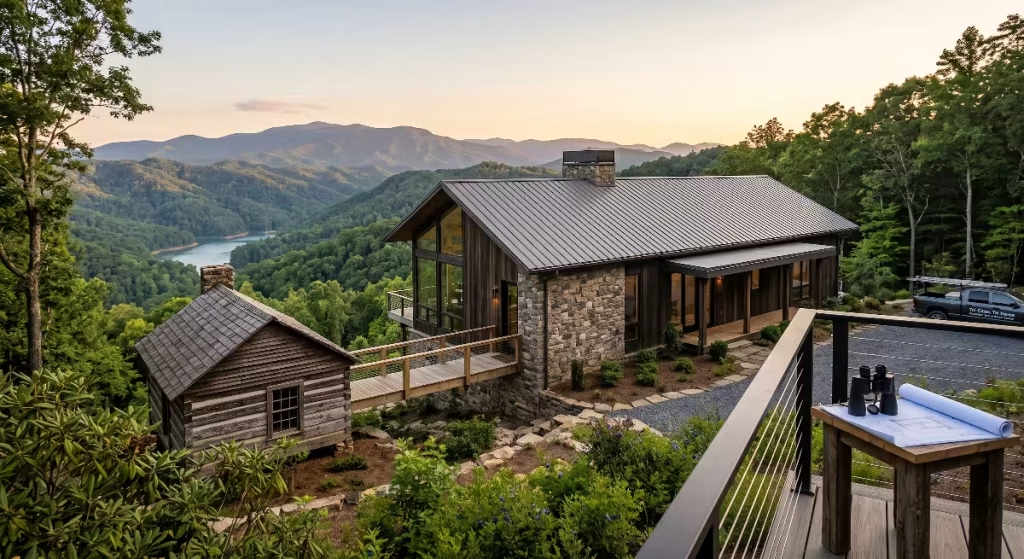
Today, Carter County, TN combines an appreciation for historic roots with the advantages of mountain living. The community preserves its heritage through careful stewardship of its public lands and historic districts.
Sycamore Shoals State Historic Park in Elizabethton preserves the river flats where the Watauga Association was drafted and where the Overmountain Men assembled. The park features a full-scale reconstruction of Fort Watauga, a modern visitor center and museum, and living-history demonstrations that teach youth how early settlers cleared timber, framed structures, and lived on the frontier. The park also hosts “Liberty! The Saga of Sycamore Shoals,” Tennessee’s official outdoor drama.
Downtown Elizabethton has revitalized its historic brick commercial core. The streetscapes surrounding the Elizabethton Covered Bridge Park now host local family businesses, restaurants, antique shops, and community events like the annual Covered Bridge Days.
Beyond historic sites, the natural geography of Carter County, TN makes it one of the premier outdoor living destinations in the Southeast:
- Roan Mountain State Park: Encompassing over two thousand acres along the Doe River, the park offers hiking, camping, and historic tours of the 19th-century Miller Farmstead.
- The Roan High Knob & Rhododendron Gardens: Rising to an elevation of 6,285 feet along the Appalachian Trail, Roan Mountain features the world’s largest natural garden of Catawba rhododendrons, which burst into vivid purple and pink blooms every June.
- Watauga Lake: Surrounded almost entirely by the protected Cherokee National Forest, the lake provides boating, sailing, and clean water with minimal commercial shoreline sprawl.
- Trophy Trout Tailwaters: The cold, oxygenated tailwaters flowing below Wilbur Dam and Watauga Dam create a world-class trout fishery along the Watauga River, drawing anglers from across the country.
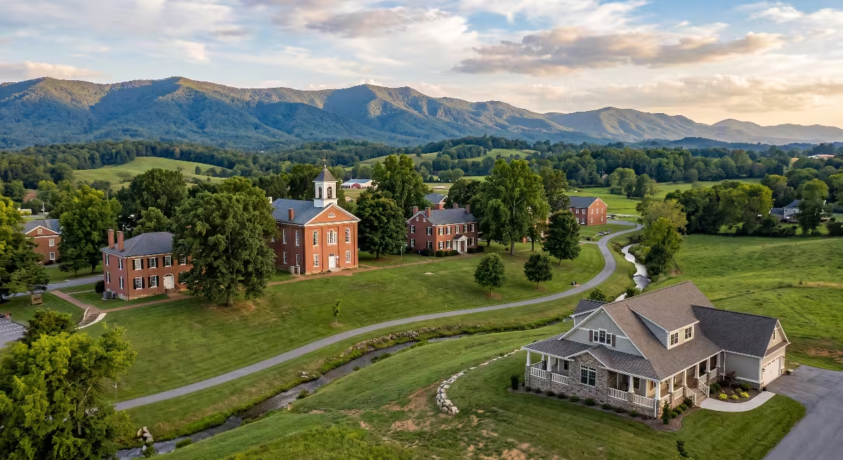
From a home building perspective, Carter County, TN offers distinct geographical advantages. The mountain slopes provide building sites with long-range views of the Blue Ridge chain, while the valley floors provide gently rolling topography with rich soils and natural wind protection.
When planning a custom home in Carter County, TN, smart builders account for the unique terrain. Foundations must be engineered for regional soils, sloped lots require careful grading and moisture drainage, and exterior home designs frequently borrow timber framing cues from the region’s historic architecture. Building a home here means joining a community that values honest work, durable construction, and neighborly connection.
Frequently Asked Questions about Carter County, TN
What is Carter County, TN known for?
Carter County, TN is best known for its rich American frontier history and mountain recreation. Key historic landmarks include Sycamore Shoals State Historic Park, where the Overmountain Men assembled during the Revolutionary War, the historic 1882 Elizabethton Covered Bridge, and the Carter Mansion, which is the oldest standing frame house in Tennessee. Geographically, it is famous for Watauga Lake, the Appalachian Trail, and the high-elevation rhododendron gardens atop Roan Mountain.
Who was Carter County, TN named after?
Carter County, TN was named in honor of General Landon Carter. Landon Carter was a prominent early political leader, soldier, and landowner who served as Speaker of the Senate for the short-lived State of Franklin and as treasurer of the Washington District. The county seat, Elizabethton, was named for his wife, Elizabeth MacLin Carter.
What was the Watauga Association?
The Watauga Association was an independent government established in 1772 by frontier settlers living along the Watauga River in present-day Carter County, TN. Because they lived outside the reach and protection of British colonial laws, the settlers negotiated a land lease with the Cherokee and wrote their own constitution. It was the first free, independent constitutional government established by American-born citizens west of the Appalachian Mountains.
What is the oldest building in Carter County, TN?
The oldest standing building in Carter County, TN is the Carter Mansion, constructed between 1775 and 1780 in Elizabethton by John and Landon Carter. It is recognized as the oldest remaining frame home in the state of Tennessee and features remarkable eighteenth-century hand-carved woodwork, interior wood paneling, and original over-mantel paintings.
What happened to the old town of Butler in Carter County, TN?
The original town of Butler was permanently flooded in December 1948 by the Tennessee Valley Authority (TVA) during the creation of Watauga Dam and Watauga Lake. The dam was constructed to control downstream flooding and provide hydroelectric power. The town’s residents relocated homes, businesses, and municipal infrastructure to higher ground, establishing “New Butler,” which earned the community its nickname as “The Town That Wouldn’t Drown.”
Building a Future Grounded in Heritage
The history of Carter County, TN teaches a valuable lesson about longevity. The early settlers at Sycamore Shoals, the craftsmen who hand-hewed the timbers of the Carter Mansion, and the carpenters who built the covered bridge across the Doe River understood that quality materials, solid joints, and proper foundations stand the test of time.
Whether you are walking along the river trails at Sycamore Shoals, boating across the clear waters of Watauga Lake, or scouting land for a future custom home, Carter County, TN carries a deep sense of place. It is a county shaped by broad rivers, protected by steep mountains, and built by generations of people who believed in doing the job right.