
Introduction to Hunter, TN
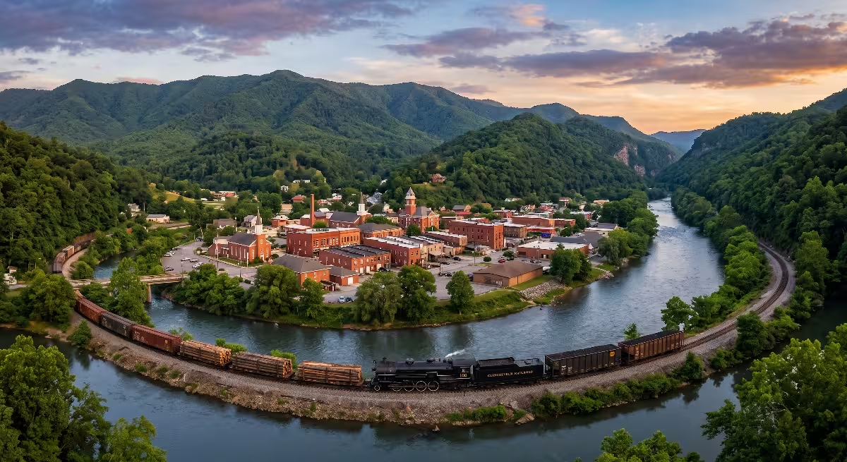
When you look across the northeastern corner of Tennessee, you find valleys shaped by clean mountain water, steep ridgelines, and centuries of human history. Hunter, TN stands as a prime example of how geography and history come together to create a lasting community. Located in Carter County just northeast of Elizabethton, Hunter, TN is an unincorporated community and census-designated place that offers a quiet, rural lifestyle while sitting right on the doorstep of the broader Tri-Cities region. To truly appreciate Hunter, you have to look at the land itself. The southern edge of the community is defined by the flowing waters of the Watauga River, while the northern skyline is dominated by the steep slopes of Holston Mountain.
Community Profile of Hunter, TN
To understand Hunter, TN today, it helps to start with the numbers and civic identity that define the area. Hunter, TN is classified by the federal government as a census-designated place, often shortened to CDP. That means Hunter, TN is not an incorporated city with a mayor or city hall. Instead, Hunter, TN relies on Carter County for public administration, law enforcement through the Carter County Sheriff’s Office, and public education through the Carter County School District.
The land area of Hunter, TN spans roughly 6.4 square miles. Of that total footprint, almost all of it is land, with a small percentage made up of open water along the riverbanks and mountain streams. The population of Hunter is approximately 1,800 to 2,000 residents. The density remains modest, averaging fewer than 300 people per square mile. This low density gives Hunter its open, spacious character that residents appreciate so much.
The households in Hunter are mostly made up of established families and longtime residents. Many people who live in Hunter, TN commute short distances to work in Elizabethton or Johnson City, but they come home to quiet streets, large yards, and mountain views. Community life in Hunter, TN often centers around local gathering places. Hunter Elementary School sits right along State Route 91, serving local children from pre-kindergarten through the eighth grade. Older students typically attend Unaka High School, just up the road in the Stoney Creek valley. Churches, local volunteer fire stations, and neighborhood markets form the backbone of daily life in Hunter, TN. It is a place where neighbors know one another by name and take real pride in their surroundings.
Natural Boundaries of Hunter, TN
The layout of Hunter, TN is directly shaped by its natural geography. When you drive through Hunter, TN, you quickly notice that nature sets the rules for where roads can run and where houses can be built. The southern boundary of Hunter, TN is formed by the Watauga River. The Watauga River is one of the oldest and most famous waterways in Tennessee. It flows out of the high mountains of North Carolina, passes through Watauga Lake, and winds past Hunter, TN before joining the Holston River system downstream. Along the edge of Hunter, TN, the river provides clean water, fertile bottomland soils, and excellent recreation. It is well known for trout fishing, kayaking, and scenic beauty.
To the north, the boundary of Hunter, TN rises sharply toward Holston Mountain. Holston Mountain is a long, prominent ridge that forms part of the Blue Ridge mountain province within the Appalachian chain. It protects the northern side of the valley, creating a sheltered pocket of land with its own distinct microclimate. The mountain slopes bring cool evening breezes down into Hunter, TN during hot summer months. At the same time, the steep elevation of Holston Mountain requires careful attention to stormwater drainage and hillside stability for anyone building on higher ground.
Between the river and the mountain ridge lies the valley floor, through which Stoney Creek flows into the Watauga River. This creek cuts through the heart of the community, feeding the rich alluvial soils that first drew farmers to Hunter, TN centuries ago. The combination of a major river to the south, a towering mountain to the north, and a fresh creek running through the center creates a natural amphitheater. These natural boundaries make Hunter, TN both visually stunning and physically contained, preventing unchecked urban sprawl and keeping the landscape green.
Settlement Evolution and Regional Growth
The historical development of Hunter, TN cannot be separated from the broader settlement of East Tennessee. Long before modern roads existed, native populations used the Watauga River basin as a travel route and hunting territory. The fertile river flats around what is now Hunter, TN provided rich soil for crops and easy access to fresh water and wild game.
When colonial long hunters and European pioneers pushed west through the Appalachian Mountains in the late 1760s and early 1770s, the Watauga Valley became the first permanent settlement area outside the original thirteen colonies. Settlers established the Watauga Association in 1772, creating one of the earliest examples of independent, self-governing democracy in America. While early fortified stations were built downriver near Sycamore Shoals, pioneer families quickly moved up the river valley into the area surrounding modern Hunter, TN.
As the years passed, Hunter, TN evolved from isolated pioneer cabins into an organized rural farming community. Homesteaders cleared bottomland fields along Stoney Creek, raised livestock on the hillsides, and harvested timber from Holston Mountain. Small gristmills and sawmills sprang up along local streams, powered by the steady flow of mountain water. Over the twentieth century, improved roads and automobiles allowed Hunter, TN to transition into a residential retreat for people working throughout Carter County and neighboring Washington County. Even as nearby cities expanded, Hunter, TN retained its agricultural charm, blending historic farmsteads with modern single-family homes.
Early Roots Along the Watauga River and Stoney Creek
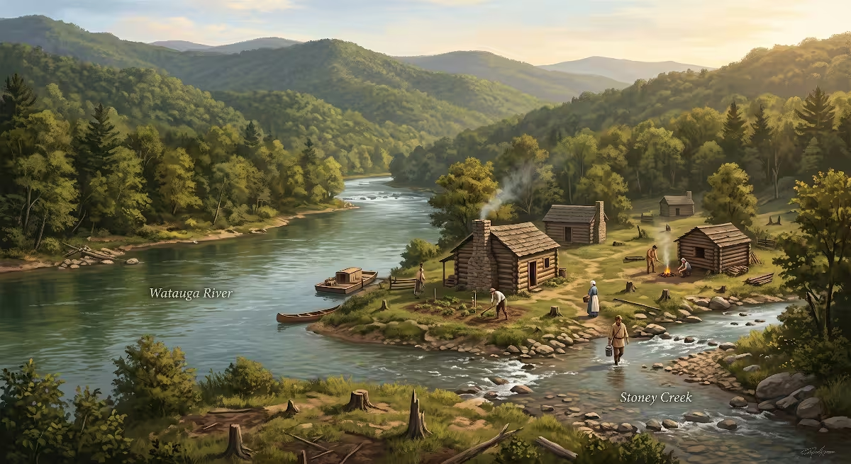
The earliest settlers who ventured into the lands around Hunter, TN found a rich, untamed wilderness. Men like Julius Dugger and Andrew Greer were among the first traders and settlers to build homesteads along the upper Watauga River in the late 1760s. They recognized that the wide river bottoms near the mouth of Stoney Creek offered ideal ground for crops like corn and wheat.
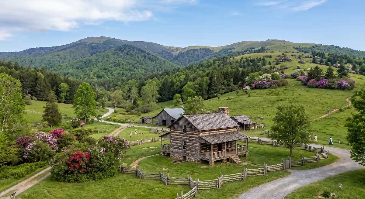
Living along the frontier around Hunter, TN required immense toughness. Early pioneers had to build their own log structures, clear dense hardwood forests by hand, and defend their families against wilderness hazards and frontier warfare. Cabins in the early days of Hunter were built from hand-hewn chestnut, oak, and poplar logs, sealed with clay and lime chinking. These early builders placed their homes on elevated knolls slightly above the Watauga River floodplain, a smart engineering choice that protected them from spring high water while keeping them close to vital river transportation.
The network of early trails that crossed through Hunter, TN gradually expanded. What began as Native American game trails became pioneer wagon tracks connecting the Watauga settlements with Virginia and North Carolina. The wagon road passing through Hunter provided a path for supplies coming over the mountains and served as an artery for trade. The presence of Stoney Creek provided a dependable source of cool, clean water that supported early family gardens, farm animals, and grain milling operations. These early roots established a culture of self-reliance and practical craftsmanship that still influences the people of Hunter, TN today.
Industrial Heritage: The Carriger Family and Stoney Creek Forges
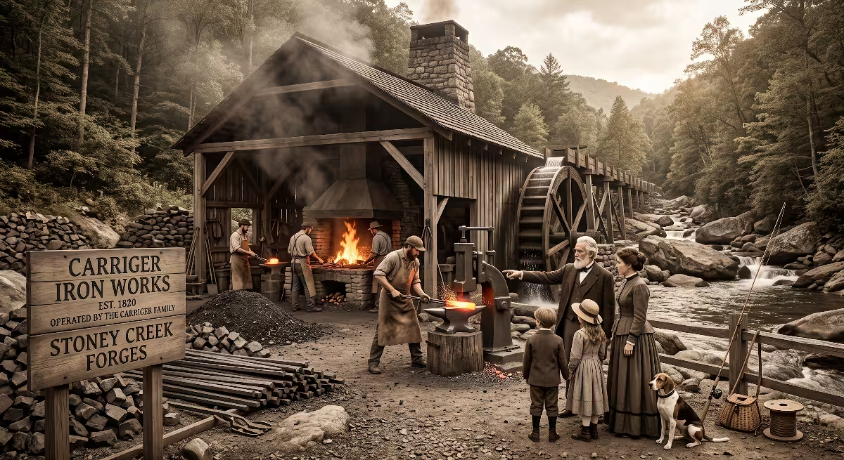
One of the most important chapters in the history of Hunter, TN centers on the rise of the early iron industry. Many people think of Carter County primarily as an agricultural haven, but the mountains surrounding Hunter were rich in high-grade iron ore deposits. Harnessing this natural wealth required skill, capital, and vision, which arrived in the form of the Carriger family.
Godfrey Carriger, an immigrant of German descent who had served in the Revolutionary War, moved his family from Pennsylvania to the Watauga Valley in 1782. He was an exceptionally wealthy and resourceful pioneer who brought six wagon loads of goods, fine furniture, gold, and an iron cook stove, which was widely reported as the first iron cook stove in the entire territory. Carriger acquired nearly 3,000 acres of land stretching from the mouth of Stoney Creek in Hunter eastward toward the Winner community. He was appointed overseer of the wagon road running from Sycamore Shoals through his property to the foot of Holston Mountain.
Godfrey Carriger and his sons recognized the industrial potential of the area. In 1806, his son Christian Carriger, along with John Nave and Charles Basendine, established the commercial iron industry along Stoney Creek. The surrounding mountains provided all the necessary elements: rich brown hematite iron ore, limestone to act as a flux in the smelting process, endless timber to create charcoal fuel, and fast-flowing creek water to turn the heavy waterwheels that powered the forge bellows and trip hammers.
For decades, the forges and bloomeries along Stoney Creek in and around Hunter, TN produced high-quality bar iron, farm tools, wagon tires, and household items. At the mouth of the creek in Hunter, TN, a bustling river port known as Carriger’s Landing was established. During periods of spring high water, flat-bottomed gunnel boats were loaded at Carriger’s Landing with wrought iron bars, barrels of cured pork, sacks of grain, and dried ginseng roots. These boats floated down the Watauga, Holston, and Tennessee rivers to markets in Knoxville and beyond. Carriger’s Landing in Hunter, TN also served as a major departure point for families emigrating further west. The iron operations on Stoney Creek continued in various forms until 1891, leaving an indelible mark on the economy and heritage of Hunter, TN.
The Civil War and Nineteenth-Century Life
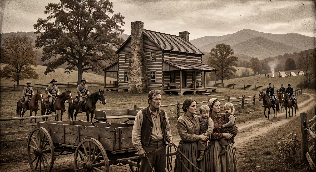
The mid-nineteenth century brought deep turmoil to East Tennessee, and the families living in Hunter, TN were caught directly in the crosscurrents of the American Civil War. Carter County was overwhelmingly loyal to the Union. In the historic June 1861 referendum on whether Tennessee should secede from the United States, Carter County voters rejected secession by a staggering vote of 1,343 against to only 86 in favor.
The rural valley around Hunter was no exception to these strong Unionist sentiments. Local leaders, including Jackson D. Carriger and Allen T. Carriger, were outspoken Unionists. However, because the state of Tennessee officially joined the Confederacy, Confederate troops occupied the region, creating severe friction. The rugged hills and dense forests around Hunter, and Holston Mountain quickly became a refuge for Union sympathizers, conscription evaders, and mountain scouts.
One famous figure of the era was Captain Daniel Ellis, a Union scout and pilot from Carter County who guided hundreds of Union recruits through Confederate lines across the mountains into Kentucky. The terrain around Hunter served as a corridor for these covert crossings. The war created painful divisions among neighbors, and partisan skirmishes broke out across the county.
After the war ended in 1865, the people of Hunter faced the hard task of rebuilding their community and local economy. Agriculture returned as the dominant way of life. Families expanded their apple orchards, grew corn and tobacco, and raised cattle on the fertile bottoms. Local craftsmen rebuilt gristmills and wagon shops, reaffirming Hunter, TN as a stable agricultural valley defined by hard work and resilience.
The Industrial Shift and the Railroad Era
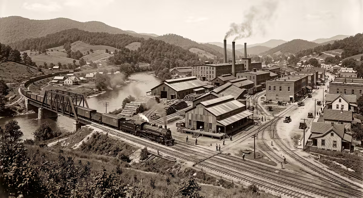
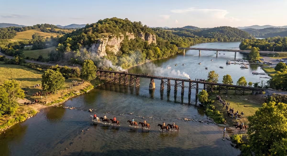
As the nineteenth century turned into the twentieth century, modern transportation transformed the valley around Hunter, TN. While riverboats had once carried freight from Carriger’s Landing, rail transport became the new standard for commerce. The East Tennessee and Western North Carolina Railroad, affectionately known as the Tweetsie line, operated through Carter County, connecting mountain timber tracts with regional industrial hubs.
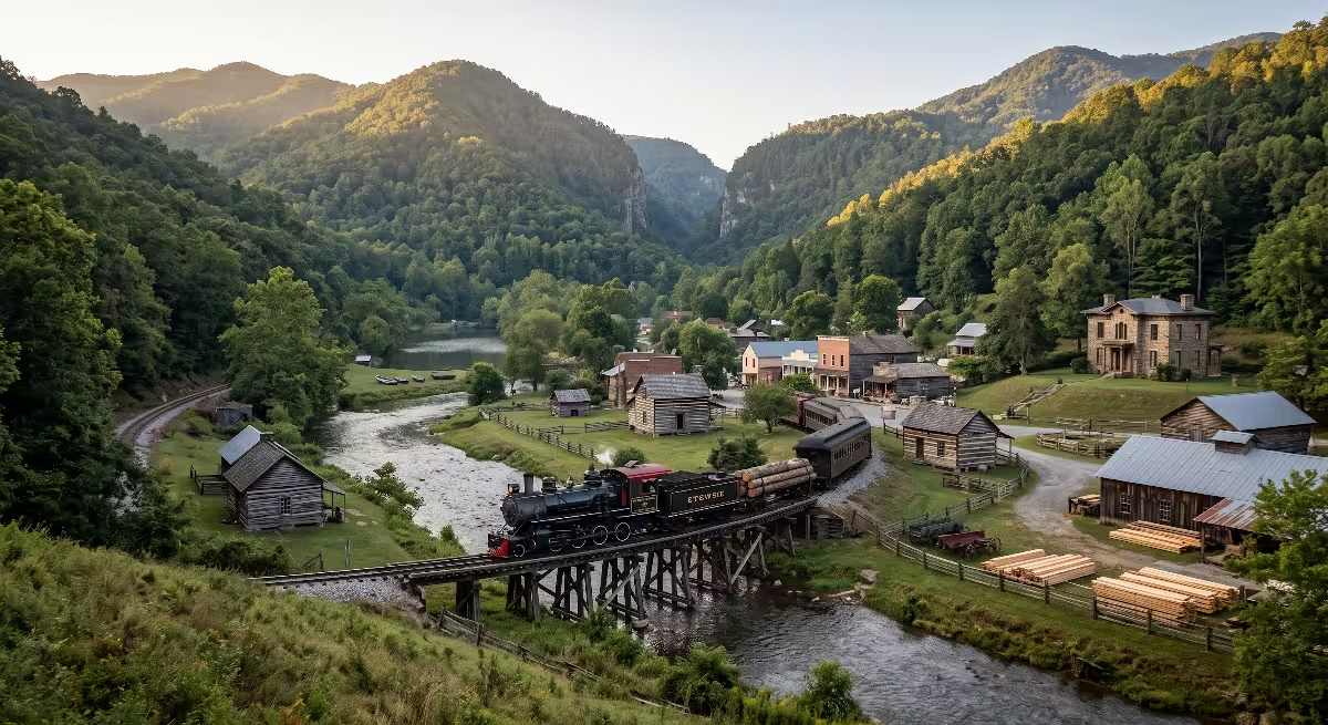
A branch line extended up into the Stoney Creek valley, passing through Hunter, TN to reach the rich timber lands on the slopes of the Cherokee National Forest. This rail access brought a boom in commercial logging. Sawmills operated throughout the valley, processing massive virgin oak, hemlock, and pine trees that were brought down from Holston Mountain. The railroad allowed lumber, iron ore, and agricultural crops to move rapidly out of Hunter, TN to regional markets across the eastern United States.
The presence of the rail corridor also changed daily life for residents of Hunter, TN. It provided regular passenger service into Elizabethton, allowing people to travel easily for shopping, secondary schooling, and factory employment. When the rayon textile mills opened in Elizabethton during the 1920s, many workers living in Hunter, TN rode the train or early bus routes into town for their shifts. The rail line eventually ceased operations in the mid-twentieth century as highway trucking took over, but the railroad era firmly established Hunter, TN as a connected part of the regional industrial economy.
Modern Integration into the Tri-Cities Region
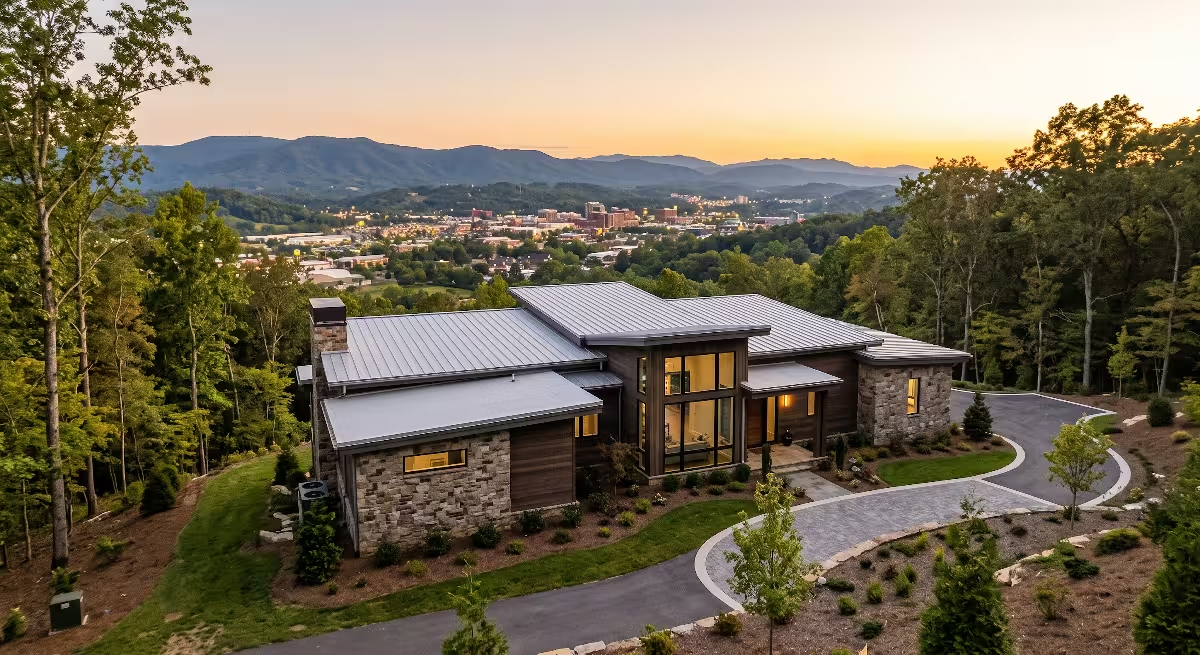
In the modern era, Hunter, TN has successfully integrated into the larger Tri-Cities metropolitan landscape while keeping its peaceful rural identity intact. The Tri-Cities region encompasses Johnson City, Kingsport, and Bristol, forming a combined statistical area that is home to more than half a million people. Hunter, TN sits squarely within the Johnson City Metropolitan Statistical Area, making it an attractive location for commuters.
The development of modern highway infrastructure was the major catalyst for this change. Upgrades to Tennessee State Route 91 and nearby US Route 19E allow residents of Hunter, TN to reach downtown Elizabethton in less than ten minutes. From there, highway connections link directly to Interstate 26 in Johnson City, putting regional employers, major medical centers, and East Tennessee State University within an easy twenty-five-minute drive.
Despite this convenient highway access, Hunter, TN has intentionally avoided high-density commercial strip malls or heavy manufacturing plants inside its residential borders. Instead, Hunter, TN functions primarily as a quiet residential enclave. People choose Hunter, TN because they want extra land between houses, clear views of the mountains, and clean air, all while remaining close to the economic opportunities of the Tri-Cities. This balance of suburban convenience and rural tranquility makes Hunter, TN one of the most desirable submarkets in Carter County for custom home buyers and families.
What County Is Hunter, TN In?
A common question that newcomers and prospective homeowners ask is regarding the local government jurisdiction of the area. Hunter, TN is located entirely within Carter County, Tennessee. Carter County is situated in the extreme northeast corner of the state, bordering Johnson, Sullivan, Washington, and Unicoi counties, as well as the state of North Carolina.
Because Hunter, TN is an unincorporated community, it does not have an independent municipal government. That means residents of Hunter, TN do not pay city property taxes. Instead, property owners in Hunter, TN pay Carter County property taxes, which fund county-wide services such as the sheriff’s department, county road maintenance, emergency medical services, and public libraries.
The county seat of Carter County is Elizabethton, which is located just a few miles southwest of Hunter, TN. All official land deeds, property records, and building permits for property in Hunter, TN are filed at the Carter County Courthouse in downtown Elizabethton. Zoning and land-use regulations in Hunter, TN fall under the authority of the Carter County Planning Commission. This administrative setup keeps local government simple and accessible for property owners in Hunter, TN, while keeping property tax rates lower than those found inside incorporated municipal city limits.
Is Hunter, TN Known by Any Other Name?
Yes, Hunter, TN is widely and historically referred to as the Stoney Creek community, or simply Stoney Creek. In fact, if you talk to longtime locals throughout Carter County, many will refer to the entire valley northeast of Elizabethton as Stoney Creek rather than using the formal census designation of Hunter, TN.
The name Stoney Creek comes directly from the rocky stream that flows down from Holston Mountain, winding through the valley before meeting the Watauga River. Historically, the name Stoney Creek covered a string of small settlements that grew along the watercourse, including Hunter, Winner, Carter, Sadie, and Buladeen. Hunter, TN represents the lower, western portion of the Stoney Creek valley, sitting right where the creek opens into the broader Watauga River basin.
The name Hunter itself originated with early landowners and postal designations in the area. When the United States Postal Service and early school districts established formal boundaries, the name Hunter was applied to distinguish this specific section of the lower valley. When the United States Census Bureau established official borders for demographic tracking, they formally named the area the Hunter census-designated place. As a result, both names remain in active use today. A local business or athletic team might proudly wear the name Stoney Creek, while official mailing addresses, tax records, and real estate listings frequently reference Hunter, TN.
Where Is Hunter Located Geographically?
Hunter, TN occupies a strategic geographic position in the Appalachian Highlands. In terms of exact coordinates, Hunter, TN is centered at approximately 36 degrees 22 minutes North latitude and 82 degrees 9 minutes West longitude. The base elevation of the community is around 1,568 feet above sea level, providing mild seasonal weather without the extreme heat found in lower river valleys.
The physical boundaries of Hunter, TN create a clear geographic zone. The southern boundary follows the natural bends of the Watauga River, which separates Hunter, TN from the neighboring Siam and Lynn Valley communities. The northern boundary extends up the foothills toward the high ridgeline of Holston Mountain, bordering large tracts of protected public land within the Cherokee National Forest. The western boundary borders the city limits of Elizabethton, while the eastern boundary blends into the upper Stoney Creek communities toward Winner and Buladeen.
Travel routes into Hunter, TN are straightforward. The primary travel corridor is Tennessee State Route 91, locally known as Stoney Creek Road. State Route 91 branches off from US Route 19E just northeast of Elizabethton and runs directly through the center of Hunter, TN, heading northeast toward Shady Valley and Mountain City. Another key road is Siam Road, which winds along the river to the south. These road corridors provide smooth travel across the valley floor while connecting Hunter, TN directly to major regional highways.
The Built Environment: From Historic Timber to Brick
The architectural history of Hunter, TN tells the story of changing materials, improved technology, and growing wealth. The earliest structures built in Hunter, TN during the late eighteenth century were simple log dwellings. Settlers utilized the dense old-growth timber that covered the valley floor. These log homes typically featured a central stone fireplace built from river rock or native limestone, a steep roof pitch to shed rain and snow, and small window openings protected by heavy wooden shutters.
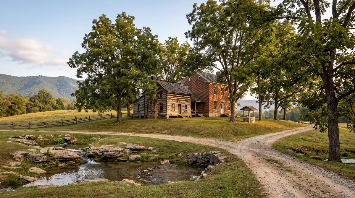
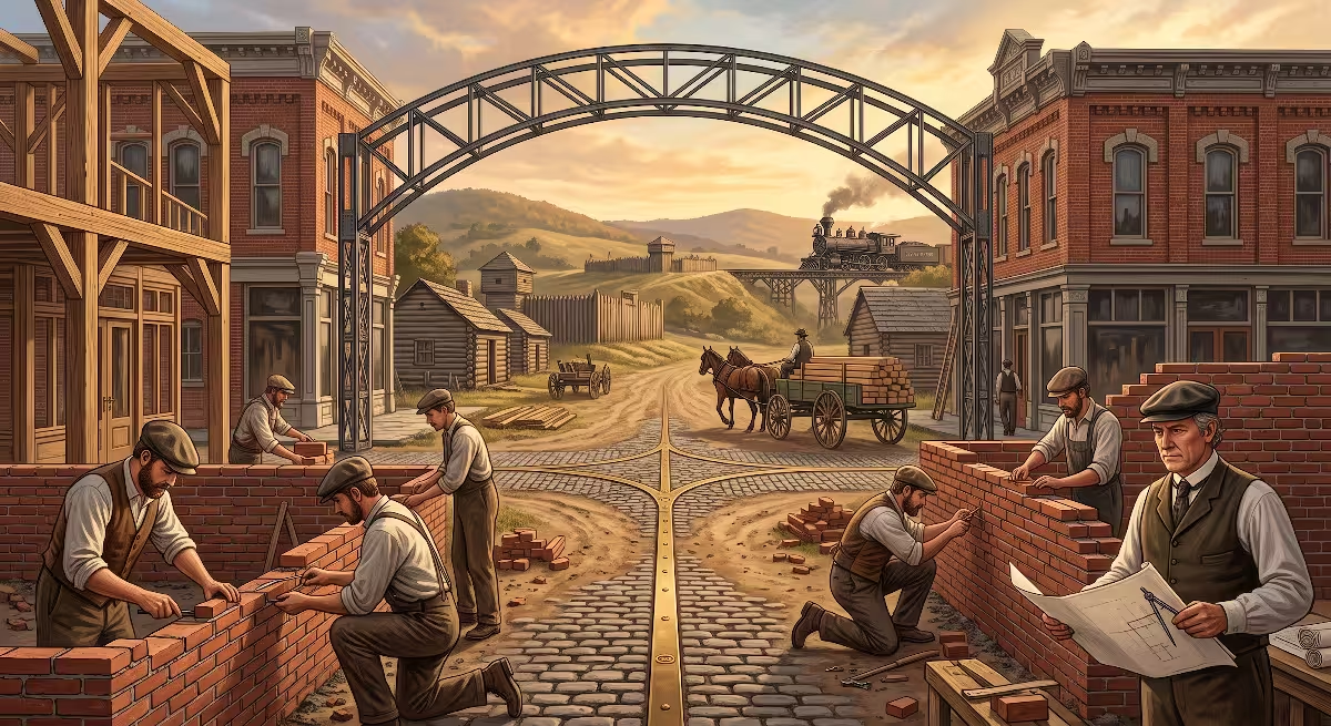
As the community prospered, building techniques in Hunter, TN advanced rapidly. A major milestone occurred when Colonel Christian Carriger, son of original settler Godfrey Carriger, constructed the first brick residence in all of Carter County right in the Hunter, TN community. Building a brick home in the early nineteenth century was a major engineering achievement. Bricks were formed by hand using local alluvial clay deposits found along the riverbanks, then fired in on-site kilns fueled by hardwood timber. The masonry walls of the Carriger home were built several wythes thick, providing superior thermal mass that kept the home cool in summer and warm in winter. This landmark home showed that Hunter, TN had progressed beyond a rough frontier settlement into a refined, permanent community.
During the mid-twentieth century, the built environment of Hunter, TN shifted toward traditional single-story ranch homes and split-level floor plans. Builders during this period favored concrete block foundations, hardwood flooring, and exterior brick veneer or painted wood lap siding. Many of these sturdy mid-century homes still stand along State Route 91 and the side roads of Hunter, TN, sitting on spacious half-acre and full-acre lots.
Institutional architecture in Hunter, TN also reflected this focus on durable, local materials. When the original Hunter Elementary School was destroyed by a fire in August 1937, the Works Progress Administration stepped in to build a replacement structure known affectionately as the rock building. Local stone masons used native river rock and quarried stone to construct the school walls, creating a durable building that served the children of Hunter, TN for decades. Today, that tradition of durable construction continues as modern custom builders in Hunter, TN combine traditional architectural styles with advanced building science.
Land Topography, Soil Dynamics, and Site Preparation
From an engineering perspective, building in Hunter, TN requires a thorough understanding of the local topography, soil mechanics, and hydrological conditions. The landscape of Hunter, TN transitions from flat river bottomland along the Watauga River to rolling agricultural hills, before rising steeply into the rocky ridges of Holston Mountain. Each of these geographic zones presents unique site preparation considerations.
The soils in the lower sections of Hunter, TN near the Watauga River and Stoney Creek are primarily alluvial deposits. These soils consist of rich silt, sandy loam, and gravel washed down from the mountains over thousands of years. While these soils are fertile and easy to excavate, builders must pay close attention to the seasonal water table and floodplain maps. In Hunter, TN, building near the river requires verifying base flood elevations to ensure home foundations sit safely above historical high-water marks. Proper site grading must direct surface water away from the foundation perimeter using gentle swales and subsurface drainage pipes.
As you move up into the rolling terrain and foothills of Hunter, TN, the soil composition changes to clay-heavy loam overlying limestone and shale bedrock. East Tennessee clay can expand when saturated and contract during prolonged dry spells. Because of this soil behavior, proper foundation engineering is critical when building a home in Hunter. Footers must be dug into undisturbed virgin soil or solid rock, well below the regional frost line of twelve to eighteen inches. Reinforced concrete footers with steel rebar provide the necessary strength to prevent foundation settling or cracking.
Furthermore, because Hunter, TN is an unincorporated community without a universal municipal sewer network, most residential properties rely on private on-site septic systems. Before building on a parcel of land in Hunter, a percolation test, or perc test, must be completed by a licensed soil scientist and approved by the Carter County Health Department. The perc test measures how quickly water filters through the soil, which determines whether the ground can support a standard septic drain field. The well-drained loam and gravel subsoils found across much of Hunter, TN make it well-suited for traditional septic systems, provided the building lot is large enough to maintain proper setbacks from property lines and water wells.
Modern Custom Home Building Trends in Hunter, TN
In recent years, Hunter, TN has seen a steady increase in demand from custom home buyers looking for quality, space, and natural beauty. The trend is driven by families and retirees who want to build their dream home in an area that feels peaceful and private, without giving up modern conveniences. Several distinct home building trends have emerged across Hunter:
- Main-Level Living: Many buyers in Hunter, TN are designing homes with the primary bedroom suite, laundry room, kitchen, and garage all on the ground floor. This layout supports aging in place, allowing homeowners to live comfortably on one level without climbing stairs every day.
- Mountain Craftsman and Modern Farmhouse Styles: The natural scenery of Hunter, TN makes rustic yet clean architectural designs very popular. Homes featuring board-and-batten siding, stone-accented foundation walls, exposed timber gables, and wide covered front porches blend smoothly into the surrounding mountain backdrop.
- Covered Outdoor Living Spaces: With pleasant spring and fall seasons in Hunter, TN, homeowners are investing heavily in outdoor living. Screened back porches, stamped concrete patios, outdoor stone fireplaces, and exterior kitchens allow families to enjoy mountain views and fresh valley air throughout the year.
- Advanced Energy Efficiency: Today’s custom homes in Hunter, TN frequently feature high-performance building envelopes. Builders use spray foam insulation in roof rafters, advanced low-emissivity windows, and high-efficiency heat pumps to keep interior temperatures comfortable while keeping monthly utility bills low.
- Spacious Detached Garages and Workshops: Because lots in Hunter, TN are often one to three acres or larger, buyers frequently request detached garages or pole barns. These buildings provide secure storage for bass boats, fly fishing gear, four-wheelers, tractors, and woodworking equipment.
The custom building process in Hunter, TN allows homeowners to take full advantage of their specific property features. Whether orienting a home toward the sunrise over Holston Mountain or designing large windows that overlook Stoney Creek, building in Hunter, TN is all about celebrating the natural setting.
Preserving Heritage While Building for the Future
As Hunter, TN looks to the future, the community faces the ongoing challenge of balancing smart residential growth with historic preservation. For over two centuries, Hunter, TN has managed to grow without losing the quiet dignity and agricultural heritage that defined its early years.
Protecting the natural resources of Hunter, TN remains a high priority for residents. The cold, clean waters of Stoney Creek and the Watauga River depend on responsible land development practices. Builders, engineers, and property owners in Hunter, TN must implement strict erosion control measures during construction, such as silt fencing and sediment traps, to keep loose topsoil from washing into local waterways. Maintaining natural tree buffers along creek banks helps preserve native fish habitats, including wild brown and rainbow trout populations.
At the same time, the sense of community in Hunter, TN remains as strong as ever. Local institutions like Hunter Elementary School continue to anchor neighborhood events, youth sports, and family gatherings. Local churches and civic organizations maintain the historic cemeteries where early pioneers, iron workers, and veterans rest, ensuring that the legacy of those who built Hunter, TN is never forgotten.
For anyone considering a move or a custom home build in Carter County, Hunter, TN offers a rare blend of historical depth, geographic beauty, and practical livability. From the early river flatboats of Carriger’s Landing to the custom homes being framed on the hillsides today, Hunter, TN continues to be a community defined by strength, craftsmanship, and timeless East Tennessee values.
The Natural Setting and Recreation Surrounding Hunter, TN
Living in Hunter, TN provides immediate access to some of the best outdoor recreation in the southern Appalachian Mountains. The community’s location between the Watauga River and Holston Mountain places world-class outdoor activities just minutes from your front door.
The Watauga River is celebrated by anglers across the nation. The tailwater section below Wilbur Dam flows right past Hunter, offering consistent, cold water year-round. This cold water creates an ideal habitat for trophy trout. Both drift boats and wading anglers can be seen casting dry flies and nymphs along the rocky banks near Hunter, TN. For river paddlers, the river offers gentle class I and class II rapids, making it a favorite spot for family kayak trips, canoeing, and weekend tubing during the warm summer months.
Just north of Hunter, TN, the Cherokee National Forest offers thousands of acres of public wilderness to explore. A short drive up State Route 91 leads to popular outdoor destinations like the Blue Hole Falls, a scenic waterfall and mountain swimming area nestled in a deep forest cove. For hikers, trailheads on Holston Mountain provide challenging climbs that reward you with sweeping panoramic views of the entire Watauga Valley, Elizabethton, and the distant peaks of Roan Mountain. Hunters and wildlife watchers in Hunter, TN enjoy abundant populations of white-tailed deer, wild turkey, black bear, and native birds that thrive along the mountain slopes.
This direct connection to the outdoors is a major reason why families choose to stay in Hunter, TN for multiple generations. Children grow up exploring creek beds, catching fireflies in open fields, and learning to fish in the clean waters of Stoney Creek. It is an authentic Appalachian lifestyle where nature is an integral part of everyday life rather than a weekend destination.
Infrastructure, Utilities, and Community Services
When you evaluate Hunter, TN from a practical living and building standpoint, understanding the infrastructure is essential. Because Hunter, TN is a rural census-designated place, public utilities are provided through a combination of county and regional utility districts.
Electric service throughout Hunter, TN is provided by the Elizabethton Electric Department. The electric grid is dependable, with power lines running along State Route 91 and branching into every residential holler and hillside lane. Modern upgrades to the electrical grid have improved reliability during winter ice storms and summer thunderstorms.
Treated drinking water in Hunter, TN is primarily supplied by the South Elizabethton Utility District or local community water districts that draw water from high-yield mountain springs and deep municipal wells. This ensures that homes along major roads in Hunter, TN have access to clean, pressurized tap water that meets all state and federal health standards. In more remote sections along the upper ridges of Hunter, TN, homeowners often drill private water wells into the deep limestone aquifers, yielding pure, cold mountain water.
High-speed internet infrastructure has expanded across Hunter in recent years. Modern fiber-optic and high-speed cable networks now run through the valley, delivered by regional providers and rural broadband cooperatives. This connectivity allows residents in Hunter, TN to work remotely from home, stream high-definition media, and operate connected home security systems without interruption.
Emergency services in Hunter, TN are handled by a dedicated network of public servants. Fire protection is provided by the Stoney Creek Volunteer Fire Department, which operates fire stations positioned to respond quickly to structure fires and emergency medical calls throughout Hunter. These volunteer firefighters are highly trained and serve as a cornerstone of neighborhood safety and civic pride. Police protection is provided by the Carter County Sheriff’s Department, with deputies patrolling the highways and backroads of Hunter around the clock.
Education and Youth Activities in the Hunter Community
Education has played a vital role in the history and social fabric of Hunter, TN for well over two centuries. As early as 1800, Godfrey Carriger Jr. donated land specifically for the construction of the first school in the Hunter area. That early commitment to educating local children set a standard that continues today.
The modern educational hub of the community is Hunter Elementary School, located on State Route 91. The school serves roughly 500 to 550 students from Hunter, TN and neighboring communities such as Lynn Valley, Keenburg, and Siam. Hunter Elementary provides a tight-knit learning environment where teachers often teach multiple generations of the same local families. The school features modern early childhood classrooms, a full gymnasium, a dedicated library, and active parent-teacher organizations.
As students graduate from the eighth grade, most transition to Unaka High School, located just up State Route 91. Unaka High School, home of the Rangers, is known for its strong community backing, competitive athletic programs, and career-technical education courses. High school sports games serve as major social events where residents from across Hunter, TN gather on Friday nights to support the youth.
For higher education and vocational training, residents of Hunter, TN benefit from close proximity to several top institutions. The Elizabethton campus of Northeast State Community College is just a short drive away, offering associate degrees and technical trade certificates in fields like advanced manufacturing, nursing, and electrical engineering. Milligan University, a renowned Christian liberal arts institution, is located just on the other side of Elizabethton. In addition, East Tennessee State University in Johnson City provides comprehensive undergraduate, graduate, and medical degree programs. This strong educational corridor ensures that young people in Hunter, TN have clear pathways to academic and career success right here at home.
Real Estate Value and Investment Potential in Hunter, TN
For anyone analyzing the housing market in Carter County, Hunter, TN stands out as a stable, high-value submarket. Real estate in Hunter, TN has consistently held its value, backed by strong local demand, scenic appeal, and limited land availability.
Because the community is naturally bordered by the Watauga River and the Cherokee National Forest, the total amount of developable land in Hunter is naturally constrained. Unlike flat regions where suburban sprawl can expand endlessly in all directions, Hunter, TN has a finite supply of building lots with gentle slopes and good road access. This limited supply helps protect property values over the long run.
Property tax rates in Hunter, TN are another major advantage for homeowners. Because Hunter is outside incorporated city limits, residents pay only Carter County property taxes. In addition, the state of Tennessee does not collect a personal state income tax on earned wages. When you combine low property taxes, zero state income tax, and relatively affordable land prices, Hunter presents a compelling financial picture for custom home builders, growing families, and retirees looking to maximize their housing investment.
Custom homes built in Hunter offer excellent long-term resale potential. Buyers are consistently drawn to the combination of large lot sizes, mountain backdrops, and easy access to Elizabethton and Johnson City. Whether you are investing in a sprawling riverfront property, a secluded wooded parcel on the foothills of Holston Mountain, or a classic ranch home on a quiet neighborhood street, real estate in Hunter remains a sound, reliable asset.
Summary of Key Takeaways for Hunter, TN
To wrap up our thorough exploration of Hunter, TN, here is a concise breakdown of the core historical facts, geographic details, and community features that define this unique Carter County community:
| Feature Category | Community Details for Hunter, TN |
| Official Classification | Unincorporated Census-Designated Place (CDP) in Carter County, TN |
| Historical Names | Stoney Creek, Hunter Community |
| Natural Boundaries | Watauga River to the south, Holston Mountain to the north |
| Primary Highway | Tennessee State Route 91 (Stoney Creek Road) |
| Early Historical Roots | Pioneer settlements of 1770s; Godfrey Carriger estate established in 1782 |
| Industrial Heritage | Commercial iron forges (1806 to 1891); flatboat river trade at Carriger’s Landing |
| Civil War Stance | Overwhelming Union loyalty; active mountain pilot routes under Captain Daniel Ellis |
| Local Public Schools | Hunter Elementary (PK to 8th) and Unaka High School (9th to 12th) |
| Recreation Highlights | Watauga River trout fishing, paddling, Blue Hole Falls, Cherokee National Forest |
| Custom Building Highlights | Large acreage lots, mountain views, well-draining soils, low county-only taxes |
Hunter, TN represents the very best of East Tennessee living. With its deep frontier heritage, rich industrial legacy along Stoney Creek, and peaceful residential neighborhoods framed by Holston Mountain and the Watauga River, Hunter, TN continues to thrive as an enduring Carter County treasure.