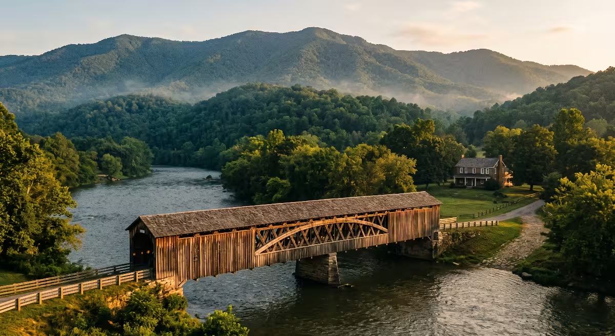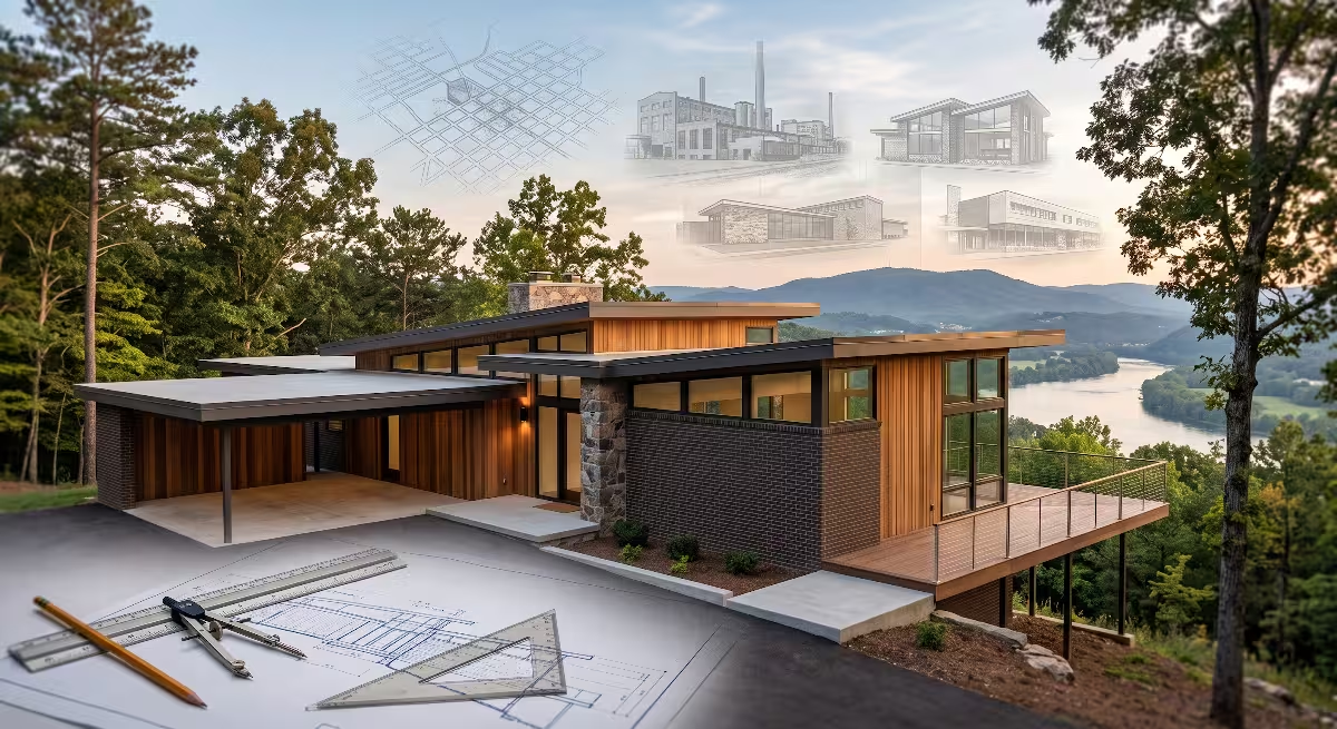

Many builders often learn that you cannot truly understand land development in the Tri-Cities of TN without understanding our past. When you spend your days analyzing soil stability, property deeds, and natural water flow, you quickly realize that the story of Watauga, TN is written right into the land itself. In this comprehensive guide, we will explore the remarkable history of Watauga, TN, examine how early pioneers built a self-governing community in the wilderness, and explain how that deep history still shapes building, land ownership, and daily living across our region today.
       +-----------------------------------------------------------+
       |             TIMELINE OF WATAUGA, TN HISTORY               |
       +-----------------------------------------------------------+
       |  1769  - William Bean builds first cabin near Watauga, TN |
       |  1772  - Watauga Association forms first free government  |
       |  1775  - Transylvania Purchase negotiated at river shoals |
       |  1776  - Settlers successfully defend Fort Watauga        |
       |  1780  - Overmountain Men muster for Kings Mountain march |
       |  1784  - Region joins the independent State of Franklin   |
       |  1796  - Tennessee enters the Union as the 16th state     |
       |  1858  - ET&V Railroad opens Carter's Depot at Watauga    |
       |  1862  - Union forces raid and burn the Watauga bridge    |
       |  1948  - TVA completes Watauga Dam; Old Butler flooded    |
       |  1960  - Modern City of Watauga, TN officially chartered  |
       +-----------------------------------------------------------+
The River Valley That Built the American West
The Geographic Setting
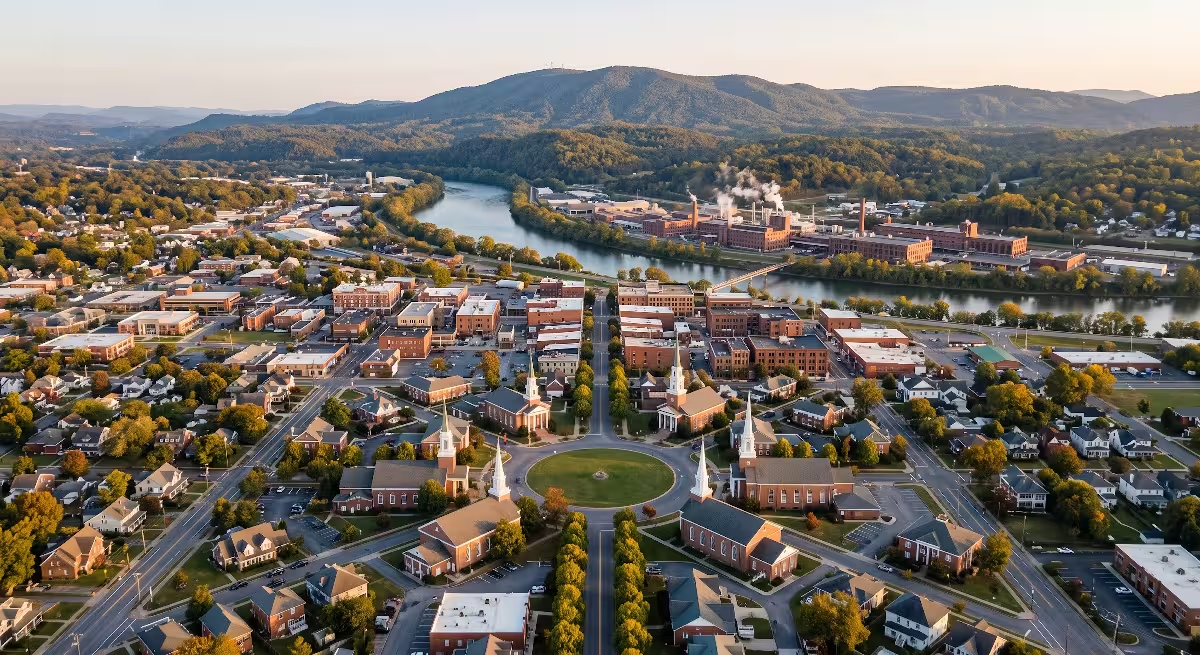
The community of Watauga, TN sits inside one of the most fertile and strategically positioned river valleys in the Southern Appalachian Mountains. The Watauga River begins high on the slopes of Grandfather Mountain in North Carolina, flowing northwest through rugged mountain ridges before entering Carter County and Washington County in East Tennessee.
In Watauga, TN, the river valley widens into gentle bottomlands, limestone bluffs, and rolling meadows. This distinct geography provided early travelers with natural crossing points, known as shoals, where shallow water over flat rock beds allowed wagons and livestock to cross safely. The location of Watauga, TN made it an essential gateway for anyone traveling west through the Appalachian mountain chain.
A Historical Precedent
Long before the United States declared its independence in Philadelphia, an isolated group of homesteaders gathered in what is now Watauga, TN to establish the first free and independent constitutional government in American history. Known as the Watauga Association, this frontier settlement proved that regular citizens could create a lawful society based on democratic principles without royal oversight. The events that occurred in and around Watauga, TN directly shaped the outcome of the American Revolutionary War and opened the trail for westward expansion across the continent.
  +-----------------------------------------------------------------------+
  |              CORE PILLARS OF EARLY WATAUGA, TN SETTLEMENT             |
  +-----------------------------------+-----------------------------------+
  |  Pillar                           |  Historical Significance          |
  +-----------------------------------+-----------------------------------+
  |  Self-Sovereignty                 |  Drafted the 1772 Watauga Compact |
  |  Defensive Militia                |  Repelled 1776 frontier attacks   |
  |  Strategic Logistics              |  Staging point for Overmountain   |
  |                                   |  Riflemen in the Revolution       |
  |  Property Rule of Law             |  Recorded deeds and land surveys  |
  |                                   |  outside British royal charters   |
  +-----------------------------------+-----------------------------------+
Why History Matters for Land and Homeowners Today
From a custom home building perspective, history is never just in the past. The early decisions made in Watauga, TN still dictate property lines, building elevations, and structural considerations today.
- Early Land Grants: Original frontier land grants established the boundaries and rights-of-way that surveyors still reference across Watauga, TN today.
- Alluvial River Soils: Centuries of river movement created deep topsoil deposits along the river flats of Watauga, TN, requiring careful foundation planning, soil compaction tests, and footers that reach solid bedrock.
- Drainage and Runoff: Natural mountain runoff paths that influenced frontier homesteading remain critical factors when designing civil site plans and septic fields in modern Watauga, TN.
The Pre-Colonial Era and The First Settlements (1760s-1771)

Cherokee Territory and the Proclamation Line
Before European settlers arrived, the rich valley around Watauga, TN served as hunting and gathering grounds for the Cherokee Nation, as well as traveling parties of Shawnee and Creek tribes. The river provided fish, freshwater mussels, and an easy travel corridor through the mountains.
                  +--------------------------------+
                  |  Royal Proclamation of 1763    |
                  |  (Settlement banned past crest)|
                  +---------------+----------------+
                                  |
                                  v
                  +--------------------------------+
                  |  Treaty of Lochaber (1770)     |
                  |  (Survey line creates errors)  |
                  +---------------+----------------+
                                  |
                                  v
                  +--------------------------------+
                  |  Settlers arrive in            |
                  |  Watauga, TN beyond boundary   |
                  +--------------------------------+
Following the French and Indian War, King George III issued the Royal Proclamation of 1763. This royal decree strictly forbade British colonists from settling west of the Appalachian Mountains, designating all land sloping toward the Mississippi River as protected Indian Territory.
The British Crown wanted to avoid expensive conflicts with Native American tribes, but frontier families were hungry for productive farmland. When the Treaty of Lochaber in 1770 shifted the boundary line, many settlers believed the valley surrounding Watauga, TN was open for legal homesteading.
The First Permanent Cabin (1769)
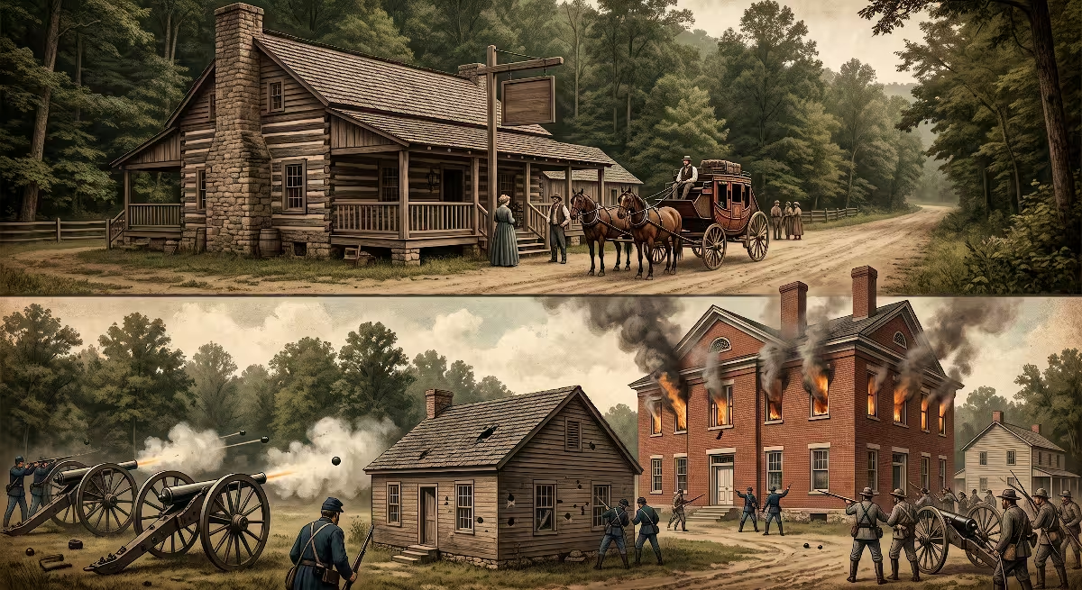
In 1769, a hunter and blacksmith named William Bean built a small log cabin along Boone’s Creek near its junction with the Watauga River, just outside modern Watauga, TN. Bean had previously traveled through the area on hunting trips with his friend Daniel Boone.
Bean recognized the exceptional quality of the river valley land. The soil was deep, timber was abundant for building sturdy cabins, and clean mountain water flowed year-round. Bean brought his wife, Lydia Bean, and their children to the site, establishing the first permanent European family settlement in what would become the state of Tennessee. Soon after, his son Russell Bean was born, becoming the first child of European descent born in the new settlement near Watauga, TN.
  +-----------------------------------------------------------------------+
  |              FRONTIER BUILDING TECHNIQUES IN EARLY WATAUGA, TN        |
  +------------------+----------------------------------------------------+
  |  Material        |  Engineering & Construction Application            |
  +------------------+----------------------------------------------------+
  |  White Oak Logs  |  Hewn flat with half-dovetail notches for stable,  |
  |                  |  interlocking corners that shed moisture.          |
  |  Fieldstone Base |  Dry-stacked foundation piers to lift timbers off  |
  |                  |  damp soil and prevent subterranean rot.           |
  |  Clay and Moss   |  Flexible chinking packed between log courses to   |
  |                  |  seal against wind drafts and winter freezing.     |
  |  Riven Shakes    |  Hand-split oak shingles pegged to roof rafters    |
  |                  |  for natural watershed on steep roof pitches.      |
  +------------------+----------------------------------------------------+
The Influx of Regulators (1771)
In 1771, conditions in the backcountry of North Carolina reached a breaking point. Small farmers, calling themselves Regulators, protested against corrupt royal tax collectors and exorbitant legal fees imposed by Royal Governor William Tryon. The conflict ended violently at the Battle of Alamance in May 1771, where the royal militia defeated the Regulators.
Rather than live under British oppression, hundreds of Regulator families packed their tools, seed grain, and livestock, and pushed across the rugged Blue Ridge Mountains into the Watauga, TN basin. Led by men like James Robertson, these settlers cleared bottomlands, constructed timber cabins, and established farmsteads along the river near Watauga, TN, determined to build self-reliant lives free from outside interference.
The Watauga Association and The 1772 Compact: America’s First Independent Frontier Government
The Dilemma of Illegal Settlement
In 1771, a formal survey conducted by Colonel John Donelson revealed bad news for the settlers living in Watauga, TN. The survey proved that the Watauga settlements did not fall within the boundary lines of colonial Virginia, as the settlers had hoped. Instead, the lands of Watauga, TN sat directly inside Cherokee territory under British treaty laws.
British authorities ordered the settlers to abandon their homes and move back east across the mountains. The families living in Watauga, TN had already cleared land, built homes, planted corn, and raised barns. Refusing to leave the homes they had built with their own hands, the leaders of Watauga, TN looked for a legal and diplomatic solution.
    +-----------------------------------------------------------------+
    |                 THE 1772 WATAUGA COMPACT STRUCTURE              |
    +-----------------------------------------------------------------+
    |                                                                 |
    |                   [ General Assembly of Settlers ]              |
    |                                  |                              |
    |                                  v                              |
    |               [ Five-Member Executive Court / Commission ]       |
    |           (Robertson, Sevier, Carter, Robertson, Isbell)        |
    |                                  |                              |
    |       +--------------------------+--------------------------+   |
    |       |                          |                          |   |
    |       v                          v                          v   |
    |  [ Land Records ]         [ Civil Disputes ]      [ Common Defense ]
    |  Deed recording &         Marriage licenses &     Frontier militia  |
    |  property surveys         contract enforcement    readiness units   |
    |                                                                 |
    +-----------------------------------------------------------------+
The 1772 Ten-Year Lease
Because British law prohibited private individuals from buying land from Native Americans, the settlers near Watauga, TN chose a creative legal alternative. In the spring of 1772, James Robertson and John Bean met with Cherokee leaders, including Attakullakulla and Oconostota.
The settlers negotiated a direct ten-year lease for the lands along the Watauga River. In exchange for trade goods, metals, tools, and textiles valued at several thousand dollars, the Cherokee granted the settlers the right to live and farm along the river. This lease provided the legal foundation for the community of Watauga, TN to remain in place and grow.
Formation of the Watauga Compact
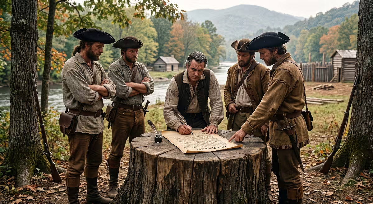
Knowing they were beyond the protection and reach of any colonial court, the settlers gathered near the river in 1772 to write their own laws. They created the Watauga Association and adopted the Watauga Compact, which represents the first written constitution established by free American-born men west of the Appalachian Mountains.
  +-----------------------------------------------------------------------+
  |              LEADERS OF THE 1772 WATAUGA ASSOCIATION COURT            |
  +-------------------+---------------------------------------------------+
  |  Leader           |  Primary Contributions to Early Watauga, TN       |
  +-------------------+---------------------------------------------------+
  |  John Carter      |  Court chairman, merchant, and builder of the     |
  |                   |  historic Carter Mansion near Watauga, TN.        |
  |  James Robertson  |  Diplomat, surveyor, and early frontier judge     |
  |                   |  who later founded the city of Nashville.         |
  |  John Sevier      |  Militia leader, master tactician, and the first  |
  |                   |  governor of the State of Tennessee.             |
  |  Charles Robertson|  Frontier magistrate, land trustee, and key       |
  |                   |  negotiator for the Watauga land leases.          |
  |  Zachariah Isbell |  Sheriff, magistrate, and veteran woodsman who    |
  |                   |  organized early community security patrols.      |
  +-------------------+---------------------------------------------------+
The Watauga Compact established a practical court composed of five elected commissioners: John Carter, James Robertson, John Sevier, Charles Robertson, and Zachariah Isbell. This court held regular sessions, recorded property deeds, issued marriage licenses, probated wills, settled debt claims, and commanded a volunteer militia.
When British Royal Governor Lord Dunmore learned of this independent government operating in Watauga, TN, he expressed deep concern, writing back to London that the Watauga Compact was setting a dangerous example of independent democracy for all other American colonies.
The 1775 Watauga Purchase and The Transylvania Deal
By 1775, North Carolina real estate investor Richard Henderson formed the Transylvania Company to buy a massive tract of land covering most of Kentucky and Middle Tennessee. In March 1775, Henderson met with more than 1,200 Cherokee representatives at the broad river shoals just downstream from Watauga, TN.
During the Treaty of Sycamore Shoals, the Transylvania Company secured millions of acres for settlement. At the same time, the leaders of Watauga, TN stepped forward to negotiate their own permanent land purchase. Charles Robertson, acting as trustee for the settlers, paid 2,000 British pounds to convert their 1772 lease into full fee-simple property ownership.
This land purchase meant that families in Watauga, TN held legal deeds to their homesteads, establishing property ownership principles that still protect property lines and title insurance policies in East Tennessee today.
The Revolutionary War and The Overmountain Men (1776-1781)
       [ British Strategy (1776) ]
                    |
                    v
       [ Incite Cherokee War Parties ] --------> Attacks on Watauga, TN
                                                        |
                                                        v
                                          [ 3-Week Siege of Fort Watauga ]
                                                        |
                                                        v
                                          [ Settlers Successfully Hold ]
The Siege of Fort Watauga (July 1776)
While the Continental Congress in Philadelphia was signing the Declaration of Independence in July 1776, settlers in Watauga, TN were fighting for their lives. British agents supplied weapons and ammunition to Cherokee factions who opposed western expansion, led by the fierce war chief Dragging Canoe.
Warned of an impending attack by the Cherokee beloved woman Nancy Ward, roughly 150 settlers retreated inside the wooden palisade walls of Fort Watauga, located along the river. A war party of roughly 300 warriors attacked the fort at dawn.
Under the calm leadership of James Robertson and John Sevier, the defenders held the wooden walls during a fierce three-week siege. Frontier sharpshooters held off the attackers until the war parties withdrew. The successful defense of Fort Watauga secured the frontier and prevented British forces from easily attacking colonial settlements from the western mountains.
  +-----------------------------------------------------------------------+
  |              FORT WATAUGA DEFENSE SPECIFICATIONS (JULY 1776)          |
  +--------------------+--------------------------------------------------+
  |  Feature           |  Engineering & Tactical Layout                   |
  +--------------------+--------------------------------------------------+
  |  Palisade Height   |  12-foot to 14-foot upright sharpened logs       |
  |                    |  sunk deep into trench footings.                 |
  |  Corner Blockhouses|  Two-story elevated log bastions with cut gun    |
  |                    |  ports offering crossfire protection.            |
  |  Water Supply      |  Hand-carried river cisterns and protected       |
  |                    |  natural spring trenches within the enclosure.   |
  |  Defending Force   |  Roughly 40 able-bodied riflemen defending over  |
  |                    |  100 women, children, and elderly residents.     |
  +--------------------+--------------------------------------------------+
Creation of the Washington District
In 1775, after the outbreak of open fighting with British forces at Lexington and Concord, the residents of Watauga, TN organized their territory into the Washington District. This was the very first political district in the entire nation named in honor of General George Washington.
In 1776, the leaders of Watauga, TN petitioned the provincial council of North Carolina to formally annex their district, stating their desire to join the fight against Great Britain and pay their fair share of revolutionary war expenses. In 1777, North Carolina incorporated the area as Washington County, which originally encompassed all of modern-day Tennessee.
The Muster at Sycamore Shoals (1780)
The darkest days of the Revolutionary War occurred in the summer of 1780, when British General Lord Cornwallis marched across South Carolina, routing American forces. British Major Patrick Ferguson sent a threatening message across the mountains to the settlers of Watauga, TN, warning them that if they did not lay down their weapons, he would march his army across the mountains, burn their homes, and lay waste to their country with fire and sword.
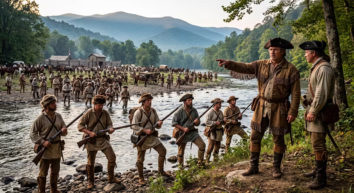
Instead of waiting to be attacked, the settlers of Watauga, TN took the offensive. On September 25, 1780, over 1,000 frontier riflemen gathered at the river shoals near Watauga, TN. These men, known to history as the Overmountain Men, carried their own handmade hunting shirts, pack horses, and precision Deckard rifled muskets.
Reverend Samuel Doak led the gathered army in prayer, invoking the battle cry: “The sword of the Lord and of Gideon!”
                                [ SEPTEMBER 25, 1780 ]
                  Muster at the river shoals near Watauga, TN
                                        |
                                        v
                                [ BLUE RIDGE MARCH ]
                  Rough mountain crossing through freezing snow
                                        |
                                        v
                                [ OCTOBER 7, 1780 ]
                  Battle of Kings Mountain: Complete victory in 65 minutes
The Overmountain Men marched across the freezing Appalachian crest in deep snow, tracking Ferguson’s Loyalist army to Kings Mountain, South Carolina. On October 7, 1780, they surrounded the mountain, using frontier hunting tactics and cover fire to completely defeat Ferguson’s command in just sixty-five minutes.
Thomas Jefferson later described this decisive victory, launched from the riverbanks near Watauga, TN, as the turn of the tide of the American Revolution that set the stage for General Washington’s final victory at Yorktown.
Frontier Reorganization: The State of Franklin to Tennessee Statehood (1784-1796)
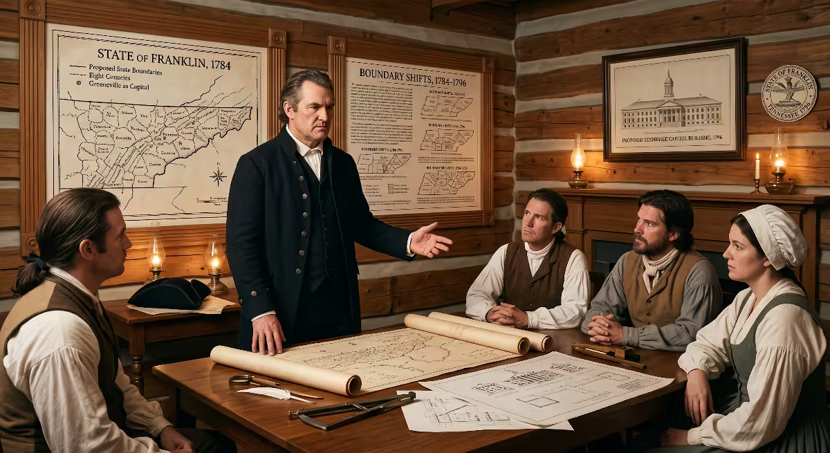
The Rise and Fall of the State of Franklin
Following the Revolutionary War, the national government was heavily in debt. In 1784, North Carolina offered to cede its western lands across the mountains to the federal Continental Congress to pay down war obligations. Left without state protection, military support, or active courts, the citizens of Watauga, TN took control of their own future once again.
                  +-----------------------------------+
                  | North Carolina Cedes Land (1784)  |
                  +-----------------+-----------------+
                                    |
                                    v
                  +-----------------------------------+
                  |  State of Franklin Created        |
                  |  (John Sevier elected Governor)   |
                  +-----------------+-----------------+
                                    |
                                    v
                  +-----------------------------------+
                  |  North Carolina Reasserts Control |
                  |  (Dual governments and tax strife)|
                  +-----------------+-----------------+
                                    |
                                    v
                  +-----------------------------------+
                  |  1796: Tennessee Statehood        |
                  +-----------------------------------+
Delegates met in Jonesborough and organized an independent 14th state named Franklin, honoring Benjamin Franklin. They elected John Sevier as their governor, established administrative offices, created new courts, and enacted laws to collect taxes in practical frontier commodities like deer hides, tobacco, and whiskey.
However, North Carolina rescinded its land cession and reasserted its legal authority over the area. For four chaotic years, dual governments operated across Watauga, TN, with rival sheriffs trying to collect taxes from the same households. By 1788, the State of Franklin collapsed due to internal political friction and lack of federal recognition, and the area returned to North Carolina jurisdiction.
  +-----------------------------------------------------------------------+
  |              CURRENCY ACCEPTED BY THE STATE OF FRANKLIN (1785)        |
  +-------------------------+---------------------------------------------+
  |  Commodity              |  Official Legal Value                       |
  +-------------------------+---------------------------------------------+
  |  Clean Beaver Skin      |  6 Shillings                                |
  |  Otter Skin             |  5 Shillings                                |
  |  Well-Cured Deer Skin   |  3 Shillings                                |
  |  Good Rye Whiskey       |  2 Shillings and 6 Pence per Gallon         |
  |  Clean Flax Linen       |  3 Shillings and 6 Pence per Yard           |
  +-------------------------+---------------------------------------------+
Transition to Tennessee (1796)
In 1790, North Carolina officially ceded its western territory to the federal government, creating the Territory South of the River Ohio, commonly called the Southwest Territory. Rocky Mount, located just west of Watauga, TN, served as the first territorial capital under Governor William Blount.
On June 1, 1796, Tennessee officially entered the Union as the 16th state. The settlements around Watauga, TN were divided into Carter County, named in honor of early Watauga court chairman John Carter, and Washington County. The historic community of Watauga, TN sat directly along the county line, maintaining its heritage as an agricultural and transportation hub for the expanding state.
19th Century Evolution: Carter’s Depot and Civil War Rail Warfare (1850s-1865)
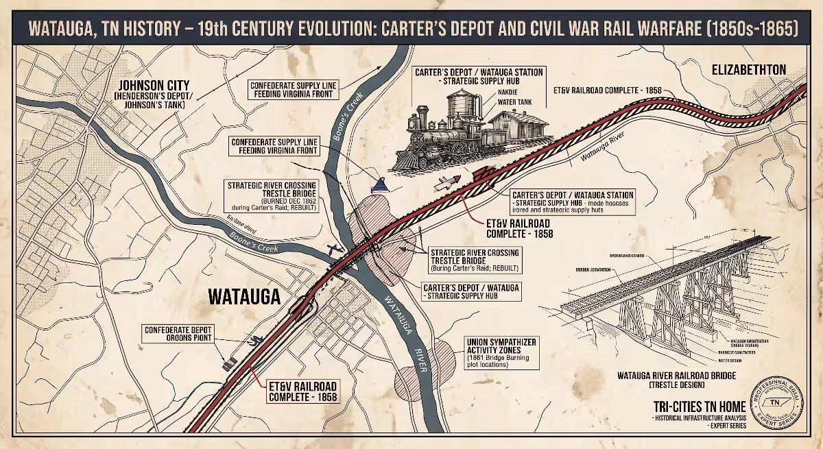
   [ 1858: ET&V Railroad Built ] ---> Major rail bridge erected at Watauga, TN
                                                |
                                                v
   [ 1861: Bridge Burning Plot ] ----> Confederate guards repulse local Unionists
                                                |
                                                v
   [ 1862: Carter's Cavalry Raid ] --> Union forces burn the strategic trestle
                                                |
                                                v
   [ 1864: Battle of Carter's Depot ]-> Gillem's artillery and infantry fight
Arrival of the East Tennessee and Virginia Railroad (ET&V)
During the mid-19th century, the industrial revolution transformed the quiet farmland of Watauga, TN. In 1858, workers finished construction on the East Tennessee and Virginia Railroad, creating an unbroken rail connection between Bristol on the Virginia line and Knoxville to the southwest.
  +-----------------------------------------------------------------------+
  |              RAILROAD INFRASTRUCTURE IN WATAUGA, TN (1858)            |
  +--------------------+--------------------------------------------------+
  |  Facility          |  Operational Role in Watauga, TN                 |
  +--------------------+--------------------------------------------------+
  |  Carter's Depot    |  Primary passenger station, freight platform,    |
  |                    |  and regional postal hub.                        |
  |  Timber Trestle    |  Long wooden rail bridge spanning the Watauga    |
  |                    |  River for heavy freight and troop trains.       |
  |  Locomotive Tank   |  Gravity-fed water tower using river water to    |
  |                    |  replenish steam locomotives on the mainline.    |
  |  Telegraph Office  |  Immediate wire communications connecting        |
  |                    |  Watauga, TN to Knoxville and Richmond.          |
  +--------------------+--------------------------------------------------+
A major depot and watering station was built on the riverbanks at Watauga, TN, named Carter’s Depot or Carter’s Station. The railroad built a massive wooden bridge to carry the rail line across the river at Watauga, TN. This infrastructure turned the small rural village into a vital regional hub for shipping timber, livestock, grain, and iron ore from local mountain mines.
Strategic Military Importance
When the Civil War broke out in 1861, the East Tennessee and Virginia Railroad became one of the most critical military supply corridors in the entire Confederacy. The rail line passing through Watauga, TN was the primary interior rail route connecting Confederate forces fighting in Virginia with farm supply centers, salt works, and western armies in Tennessee and Georgia.
While the Confederate government controlled the rail line, the local population across East Tennessee was deeply divided. The majority of residents in Carter and Washington counties remained staunch Union sympathizers. This ideological clash made the railroad bridge at Watauga, TN a top military target throughout the four-year war.
                  +---------------------------------------+
                  |  Richmond, VA (Confederate Capital)   |
                  +-------------------+-------------------+
                                      |
                           [ Rail Supply Line ]
                                      |
                                      v
                  +---------------------------------------+
                  |    CRITICAL TRESTLE AT WATAUGA, TN    |
                  +-------------------+-------------------+
                                      |
                           [ Western Front Lines ]
                                      |
                                      v
                  +---------------------------------------+
                  |  Chattanooga, Atlanta, and Mississippi|
                  +---------------------------------------+
Wartime Engagements
1. The East Tennessee Bridge Burnings (November 1861)
In the autumn of 1861, local Union loyalists coordinated with federal officials to burn nine strategic railroad bridges across East Tennessee in a single night. On November 8, 1861, a party of local Union men marched toward the railroad bridge at Watauga, TN.
Unlike other bridges that were left unguarded, the bridge at Watauga, TN was heavily defended by Confederate troops stationed at Carter’s Depot. The Unionists were repulsed after a brief shootout, leaving the bridge standing while others across the region burned.
2. Carter’s Raid (December 1862)
In late 1862, Union Brigadier General Samuel P. Carter, an Elizabethton native who held the unique distinction of serving as both a general in the U.S. Army and a rear admiral in the U.S. Navy, led a bold cavalry raid behind Confederate lines. Carter led roughly 1,000 cavalrymen through freezing mountain passes from Kentucky into East Tennessee.
On December 30, 1862, Carter’s cavalry struck Carter’s Depot at Watauga, TN. They captured the Confederate garrison, took over one hundred prisoners, seized military supply wagons, and burned the wooden railroad bridge over the Watauga River to the ground. This strike cut the main supply line to General Robert E. Lee’s army in Virginia for weeks.
  +-----------------------------------------------------------------------+
  |              SUMMARY OF CARTER'S RAID ENGAGEMENT (DEC 30, 1862)       |
  +-----------------------+-----------------------------------------------+
  |  Element              |  Engagement Detail at Watauga, TN             |
  +-----------------------+-----------------------------------------------+
  |  Union Commander      |  Brigadier General Samuel P. Carter           |
  |  Confederate Force    |  Roughly 200 infantry defenders at the depot  |
  |  Strategic Objective  |  Destruction of the ET&V Railroad river span  |
  |  Material Destroyed   |  Rail trestle, depot building, military rail  |
  |                       |  cars, telegraph lines, and field stores.     |
  |  Military Impact      |  Severed rail communication between Virginia   |
  |                       |  and Tennessee for nearly a month.            |
  +-----------------------+-----------------------------------------------+
3. The Battle of Carter’s Depot (April 1864 and September 1864)
The ground around Watauga, TN saw continued fighting throughout 1864. In September 1864, Union General Alvan C. Gillem led federal troops into Watauga, TN, clashing with Confederate cavalry and infantry entrenched along the river bluffs.
Artillery shells blasted across the river valley as federal forces drove the Confederate defenders back toward Jonesborough. The repeated battles around Carter’s Depot in Watauga, TN destroyed rail facilities, tore up tracks, and left the surrounding farms in economic ruin until post-war reconstruction rebuilt the rail corridor.
20th Century Transformation: The TVA, Watauga Dam, and Old Butler
                  +------------------------------------+
                  |  Devastating 1940 Valley Flood     |
                  +-----------------+------------------+
                                    |
                                    v
                  +------------------------------------+
                  |  TVA Authorization of Watauga Dam  |
                  +-----------------+------------------+
                                    |
                                    v
                  +------------------------------------+
                  |  Old Butler Flooded (1948)         |
                  |  Watauga Lake Formed Upstream      |
                  +-----------------+------------------+
                                    |
                                    v
                  +------------------------------------+
                  |  Stable Tailwaters at Watauga, TN  |
                  +------------------------------------+
Taming the Watauga River
For more than a century and a half, families in Watauga, TN lived at the mercy of seasonal river flooding. Heavy spring rains and mountain snowmelt regularly caused the river to overflow its banks, washing out bridges, submerging farm fields, and damaging homes along the riverbanks.
The worst disaster struck in August 1940, when a massive hurricane stalled over the Blue Ridge Mountains. Rain fell in unprecedented amounts, sending a wall of water down the river valley that swept away entire buildings, destroyed railway beds, and caused catastrophic damage throughout Watauga, TN and downstream communities.
In response, the federal government directed the Tennessee Valley Authority (TVA) to begin construction on a massive flood control dam in 1942.
  +-----------------------------------------------------------------------+
  |              WATAUGA DAM TECHNICAL SPECIFICATIONS (TVA)               |
  +------------------------+----------------------------------------------+
  |  Engineering Feature   |  Design Measurement                          |
  +------------------------+----------------------------------------------+
  |  Dam Height            |  318 feet tall                               |
  |  Crest Length          |  900 feet across the mountain gorge          |
  |  Base Thickness        |  1,275 feet of engineered earth and rockfill |
  |  Reservoir Area        |  6,430 surface acres (Watauga Lake)          |
  |  Flood Storage Volume  |  Roughly 260,000 acre-feet of water storage  |
  +------------------------+----------------------------------------------+
“The Town That Wouldn’t Drown”
Building the Watauga Dam required a profound sacrifice from local mountain families. The rising waters of the new reservoir were calculated to completely submerge the historic 150-year-old town of Butler, Tennessee, located upstream from Watauga, TN.
       [ 1948: TVA Closes Dam Gates ]
                     |
                     v
       [ Lake Waters Rise 300+ Feet ] -------> Submerges roads, foundations,
                                               and downtown of Old Butler
                     |
                     v
       [ "The Town That Wouldn't Drown" ] ---> Citizens rebuild New Butler
                                               on higher ground nearby
Rather than letting their community disappear, the citizens of Butler relocated their entire town. Families moved houses, businesses, schools, churches, and even disinterred loved ones from ancestral cemeteries to higher ground above the flood line, creating the new town of Butler.
In December 1948, the TVA closed the gates of the 318-foot-tall earth-and-rock dam. Water filled the mountain gorge, burying Old Butler beneath hundreds of feet of water and forming Watauga Lake.
For the downstream community of Watauga, TN, the completion of the dam changed everything. The river was finally regulated, ending the cycle of destructive natural flooding and providing a clean, cold tailwater river that sparked modern recreation and residential growth.
Incorporation of the Modern City of Watauga (1960)
With a stable river and expanding regional transportation networks connecting Johnson City, Elizabethton, and Bristol, the community of Watauga, TN recognized the need for organized local services.
In 1960, local civic leaders organized a municipal charter, and Watauga, TN officially incorporated as a city. The municipal boundaries crossed the county line, taking in neighborhoods in both Carter and Washington counties.
Modern Watauga, TN established local zoning ordinances, emergency services, road maintenance, and a municipal park system, ensuring the small community could preserve its peaceful, rural character while sitting in the center of the growing Tri-Cities metropolitan region.
  +-----------------------------------------------------------------------+
  |              MODERN CITY OF WATAUGA, TN AT A GLANCE                   |
  +---------------------+-------------------------------------------------+
  |  Municipal Metric   |  Community Status                               |
  +---------------------+-------------------------------------------------+
  |  Incorporation Year |  1960                                           |
  |  County Alignment   |  Carter County (primary) & Washington County    |
  |  Government Type    |  City Commission with Mayor                     |
  |  Location           |  Positioned between Johnson City & Elizabethton |
  |  Primary Feature    |  Watauga River Tailwater Trout Fishery          |
  +---------------------+-------------------------------------------------+
Common Questions Answered about Watauga, TN History
What was the Watauga Association and why is it important?
The Watauga Association was a semi-autonomous, democratic government established in 1772 by frontier settlers living along the river in what is now Watauga, TN. When an official boundary survey proved the settlers were living on Cherokee land outside the legal boundaries of Virginia and North Carolina, the homesteaders refused to leave. Instead, they negotiated a direct lease from the Cherokee and drafted the Watauga Compact.
This document was the first written constitution created by American-born settlers establishing an independent, self-governing community west of the Appalachian Mountains. It established a five-member court that settled disputes, registered land titles, issued marriage licenses, and commanded a defense militia. It provided an early blueprint for constitutional democracy and property law in the American West.
                  +----------------------------------+
                  |  1772 Watauga Association Forms  |
                  +-----------------+----------------+
                                    |
                                    v
                  +----------------------------------+
                  |  Court of 5 Elected Magistrates  |
                  +-----------------+----------------+
                                    |
                                    v
                  +----------------------------------+
                  |  Rule of Law on Western Frontier |
                  |  (Deeds, Contracts, and Courts)  |
                  +----------------------------------+
Is Watauga, TN in Carter County or Washington County?
The city of Watauga, TN is located in both Carter County and Washington County. The primary municipal offices, original historic town center, and majority of residential neighborhoods lie within Carter County, with its eastern boundary bordering Elizabethton.
However, the corporate municipal boundary and postal delivery route of Watauga, TN extend westward across the county line into Washington County toward Johnson City.
This dual-county location is an important consideration for custom home building and real estate transactions, as property tax assessments, public school zones, and building permit requirements depend on which side of the county line a specific parcel is located.
  +-----------------------------------------------------------------------+
  |              COUNTY JURISDICTION BREAKDOWN FOR WATAUGA, TN            |
  +----------------------+-----------------------+------------------------+
  |  Feature             |  Carter County Side   |  Washington County Side|
  +----------------------+-----------------------+------------------------+
  |  County Seat         |  Elizabethton         |  Jonesborough          |
  |  Property Records    |  Carter County Register| Washington Co. Register|
  |  School District     |  Carter County Schools|  Washington Co. Schools|
  |  Building Codes Dept |  Carter Co. Planning  |  Washington Co. Code   |
  +----------------------+-----------------------+------------------------+
What happened to the old town of Watauga / Old Butler?
There is often confusion between the history of the city of Watauga, TN and the historic community of Old Butler.
- The City of Watauga, TN: Located downstream from Elizabethton, this town evolved from Carter’s Depot along the railroad and was never submerged. It remains an active incorporated municipality today.
- Old Butler (“The Town That Wouldn’t Drown”): Located several miles upstream, this town was intentionally flooded in December 1948 by the Tennessee Valley Authority during the construction of the Watauga Dam. The citizens dismantled their homes and relocated their community to higher ground, establishing New Butler along the shoreline of the newly created Watauga Lake.
During rare periods when the TVA draws lake water levels down for dam inspections, the stone foundations, street curbs, and bridge abutments of Old Butler become visible beneath the lake waters.
      +----------------------------------------------------------------+
      |        DISTINGUISHING WATAUGA, TN FROM OLD BUTLER, TN          |
      +-------------------------------+--------------------------------+
      |  Watauga, TN (Downstream)     |  Old Butler (Upstream)         |
      +-------------------------------+--------------------------------+
      |  Historic rail junction town  |  Agricultural river village    |
      |  Operating municipality today |  Flooded by TVA Dam in 1948    |
      |  Situated on river tailwaters |  Submerged under Watauga Lake  |
      |  Active residential building  |  Rebuilt as New Butler on hill |
      +-------------------------------+--------------------------------+
What role did Watauga play in the American Revolutionary War?
The settlements of Watauga, TN played a decisive role in the outcome of the American Revolutionary War. In July 1776, local riflemen successfully defended Fort Watauga during a three-week siege against British-allied Cherokee war parties, protecting the western American frontier from collapse.
In September 1780, over 1,000 frontier militia fighters, known as the Overmountain Men, mustered at the river shoals near Watauga, TN. These volunteers marched across the Blue Ridge Mountains to confront British Major Patrick Ferguson at the Battle of Kings Mountain. Their complete tactical victory destroyed Ferguson’s Loyalist army, protected the southern colonies, and forced British General Lord Cornwallis to retreat, setting the stage for the final American victory at Yorktown.
Historic Legacy and Modern Living in Watauga, TN

                  +-----------------------------------+
                  | Historic River Valley Settlement  |
                  +-----------------+-----------------+
                                    |
                                    v
                  +-----------------------------------+
                  | Stable Dam-Controlled Tailwaters  |
                  +-----------------+-----------------+
                                    |
                                    v
                  +-----------------------------------+
                  | World-Class Trout Fishery &       |
                  | Custom Home Acreage in Watauga,TN |
                  +-----------------------------------+
Preservation Sites
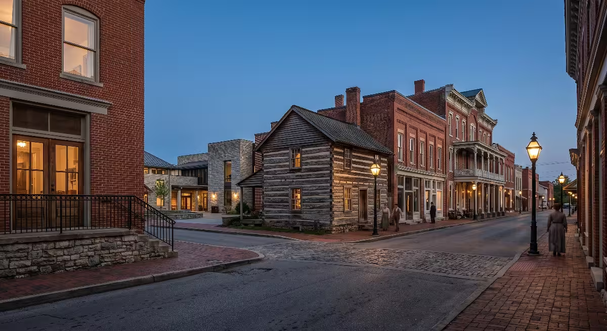
For anyone interested in experiencing the early history of Watauga, TN firsthand, our area offers several well-preserved historical sites within minutes of the town center:
- Sycamore Shoals State Historic Park: Located along the river between Watauga, TN and Elizabethton, this park features a full-scale reconstruction of Fort Watauga, walking trails along the historic river shoals, and an interpretive visitor center.
- The Carter Mansion: Built in the late 1770s by John and Landon Carter near Watauga, TN, this is the oldest standing frame house in the state of Tennessee, featuring original hand-carved interior woodwork and frontier wall paintings.
- Sabine Hill: An exceptional example of Federal-style architecture built around 1818 by the widow of General Landon Carter, showcasing early frontier craftsmanship.
- Historic Railroad Markers: Civil War historical markers throughout Watauga, TN show where the railway bridge was defended in 1861 and burned during Carter’s Raid in 1862.
  +-----------------------------------------------------------------------+
  |              HISTORIC SITES AROUND WATAUGA, TN                        |
  +--------------------+--------------------------------------------------+
  |  Site Name         |  Historical Significance                         |
  +--------------------+--------------------------------------------------+
  |  Fort Watauga      |  Reconstructed frontier fort marking the 1776    |
  |  (Sycamore Shoals) |  siege and 1780 Overmountain muster site.        |
  |  Carter Mansion    |  Oldest frame home in Tennessee (circa 1775)     |
  |                    |  featuring intact 18th-century timber joinery.   |
  |  Sabine Hill       |  Restored 1818 Federal-style estate built by     |
  |                    |  one of the region's founding pioneer families.  |
  |  Carter's Depot    |  Historical rail markers commemorating Civil     |
  |  Civil War Markers |  War railway battles and bridge burning raids.   |
  +--------------------+--------------------------------------------------+
Topographical and Land Characteristics for Modern Home Building
Understanding the local geology and topography of Watauga, TN is essential for any homeowner or builder planning a custom residential build in this part of Carter and Washington counties.
                  +------------------------------------+
                  |  Watauga River Tailwater Zone      |
                  |  (Shallow water table, gravel beds)|
                  +-----------------+------------------+
                                    |
                                    v
                  +------------------------------------+
                  |  Mid-Valley Alluvial Terraces      |
                  |  (Rich topsoil, excellent building)|
                  +-----------------+------------------+
                                    |
                                    v
                  +------------------------------------+
                  |  Limestone Ridge Bluffs            |
                  |  (Bedrock anchoring, ridge views)  |
                  +------------------------------------+
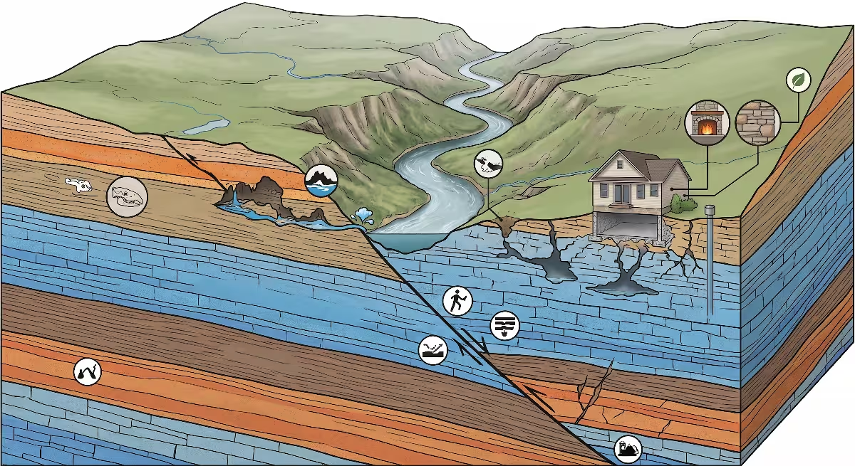
The valley floor along the river consists of rich alluvial silt overlying deep gravel and limestone bedrock formations. While these soils are fertile for agriculture and landscaping, modern home construction along riverfront parcels in Watauga, TN requires professional site engineering:
- Foundation Footings: On valley floor lots across Watauga, TN, standard trench footings must be excavated deep enough to sit firmly on undisturbed soil or solid rock. When building on riverbanks, stepped footers and reinforced concrete block with vertical rebar tie-ins ensure structural stability against minor soil shifts.
- Flood Elevation Surveys: Because the TVA dam controls river flow, catastrophic flooding has been controlled, but home plans in Watauga, TN must still comply with FEMA flood plain maps. A formal elevation certificate by a licensed surveyor confirms your finished floor elevation sits safely above the base flood line.
- Septic Percolation: Parcels located outside municipal sewer lines across Watauga, TN require standard soil perk tests. The combination of river clay and limestone shelves means septic drain fields must be carefully mapped across suitable soil bands.
- Trout Tailwater Access: The cold, clear water released from the bottom of the Watauga Dam makes the river passing through Watauga, TN one of the premier tailwater fly-fishing rivers in North America for rainbow and brown trout. Riverfront acreage in Watauga, TN remains in high demand for buyers seeking custom homes with immediate backyard river access.
  +-----------------------------------------------------------------------+
  |              BUILDER SITE ANALYSIS CHECKLIST FOR WATAUGA, TN          |
  +----------------------+------------------------------------------------+
  |  Engineering Item    |  Practical Construction Requirement            |
  +----------------------+------------------------------------------------+
  |  Soil Core Drilling  |  Identify depth to limestone bedrock and       |
  |                      |  bearing capacity for concrete footers.        |
  |  Elevation Mapping   |  Verify finished basement floor level rests    |
  |                      |  above established 100-year flood lines.       |
  |  Percolation Profile |  Evaluate soil absorption rates for private    |
  |                      |  septic field lines and reserve areas.         |
  |  Stormwater Grading  |  Direct mountain surface runoff away from      |
  |                      |  foundation walls with swales and french drains|
  +----------------------+------------------------------------------------+
The story of Watauga, TN is one of resilience, independence, and smart adaptation to the natural landscape. From the first log cabins hewn from virgin oak in 1769 to the modern custom homes overlooking the river bluffs today, the community of Watauga, TN continues to honor its heritage as the historic cradle of frontier independence in Northeast Tennessee.