

The Bowl in the Blue Ridge
When you spend your life studying how homes rest on the earth, you quickly learn that you cannot understand the soil, the timber, or the building sites of our region without understanding the history behind them. Today, we are taking a deep dive into the history of Hampton, TN.
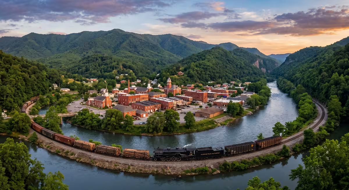
If you leave Elizabethton and head southeast on Highway 19E, the wide valley of the Watauga River begins to change around you. The ridges rise up quickly on both sides of the roadway. You pass through a narrow natural gap where the Doe River cuts through stone, and suddenly the mountain walls open up into a hidden, fertile bowl. This mountain bowl is Hampton, TN.
Hampton, TN sits in a protected natural valley in Carter County, Tennessee. It is surrounded by three towering mountain landmarks: Jenkins Mountain to the west, Cedar Mountain to the east, and Pond Mountain rising to the south. Three cold mountain waterways converge here. The Doe River rolls through the heart of town. The Little Doe River joins it from the west, and Laurel Fork flows in from the south.
When you study the geography of Hampton, TN, you see right away why people chose to live here. It is sheltered from harsh winter winds by high mountain ridges. It has deep valley soil fed by mountain streams, and it has an endless supply of fresh water and timber. The story of Hampton, TN is a classic tale of Appalachian grit. It evolved from Native American hunting grounds into a divided Civil War frontier, transformed into a booming railroad and lumber hub, and grew into the peaceful mountain community we know today.
Understanding the story of Hampton, TN gives every visitor, local resident, and prospective home builder a clear picture of how land, water, and human effort shape a community. When we examine the history of Hampton, TN, we see how every era left a physical mark on the landscape that still affects modern homes and daily life.
The Pre-Settlement Frontier and Carter County Foundations
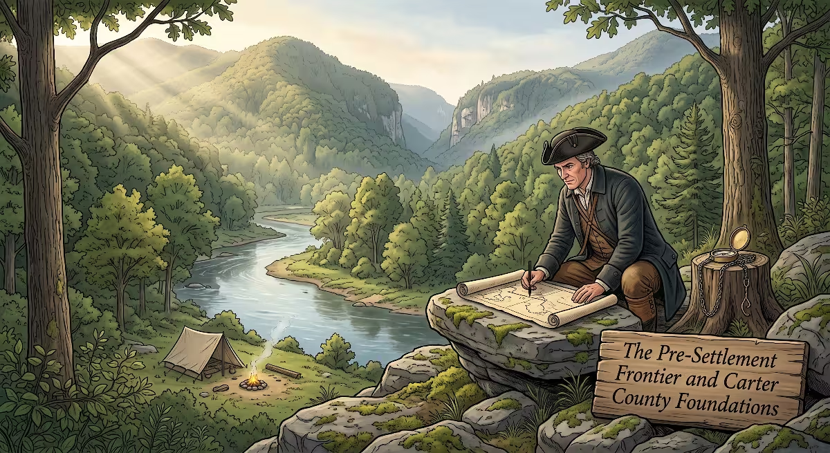
Long before European settlers set eyes on the Doe River, the valley of Hampton, TN was a vital travel and hunting corridor for native peoples, especially the Cherokee.
The Cherokee did not build a major permanent city inside the narrow valley of Hampton, TN, but they used this protected bowl constantly. The waterways around Hampton, TN served as natural paths through the rugged Unaka Mountains. Hunters followed game through the gap where Laurel Fork and the Doe River meet, tracking deer, black bear, and elk between the high balds of Roan Mountain and the river flats of the Watauga.
In the late 1700s, the first white settlers pushed across the Blue Ridge Mountains into what was then western North Carolina. These pioneers established the Watauga Association at Sycamore Shoals, just a few miles downriver from Hampton, TN. The Watauga Association was one of the first independent democratic governments formed by American-born settlers. As families took root along the Watauga River, younger generations and new arrivals looked south toward the Doe River valley and the land that would become Hampton, TN.
The valley floor of Hampton, TN was covered with old growth forest. Huge white oaks, poplars, chestnuts, and hemlocks stood hundreds of feet tall. The mountain soil in the valley of Hampton, TN was rich with river silt. It did not take long for farming families to clear small plots along the stream banks.
Local folklore in Carter County tells us that early parcels of land in Hampton, TN were traded for simple frontier goods. Legend holds that early settlers traded hunting rifles, powder horns, and good horses for hundreds of acres of valley land in Hampton, TN. Whether every trade happened exactly that way or not, early deeds show that land in Hampton, TN was bought, sold, and settled by hardy families willing to work the soil.
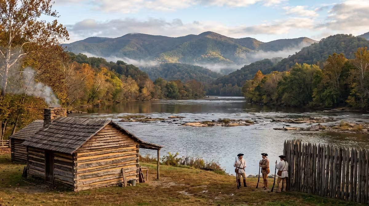
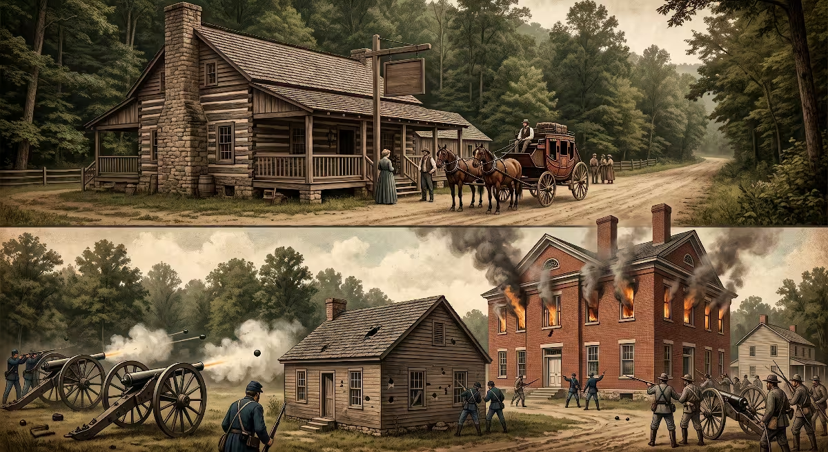
Early life in Hampton, TN centered on self-reliance. If you wanted a home, you felled timber from your own hillside. If you needed meal, you harnessed the flowing water of Laurel Fork to turn a millstone. The earliest structures built in Hampton, TN were hand-hewn log cabins with stone mud-chinked chimneys. The builders used native limestone gathered right out of the riverbeds. Many of those early family names, like Simerly, Lacy, and Campbell, remain deeply rooted in Hampton, TN today.
The Civil War Era, Bridge Burnings, and Elijah Simerly
By the time the Civil War broke out in 1861, East Tennessee was in a painful and unique position. Unlike the plantation regions of Middle and West Tennessee, the mountainous country of Carter County and Hampton, TN had very few enslaved people. The farmers of Hampton, TN worked their own small acreage. They had strong political ties to the Union and little desire to fight for a Confederacy led by wealthy lowland planters.
When Tennessee voted to secede from the United States, Carter County, including the area around Hampton, TN, voted overwhelmingly to remain with the Union. This split created intense local conflict. Neighbors who had shared tools and helped each other raise barns in Hampton, TN suddenly found themselves on opposing sides of a bitter war.
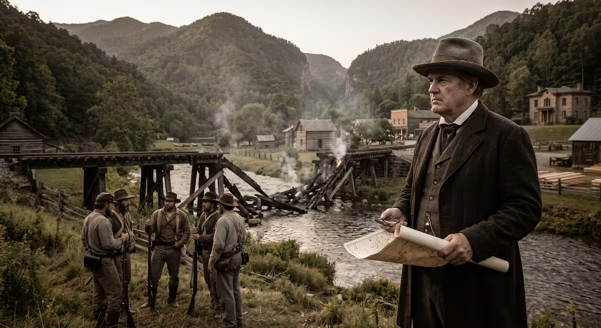
In the autumn of 1861, Union sympathizers across East Tennessee organized a coordinated guerrilla effort known as the East Tennessee bridge burnings. Men from Carter County and the hills around Hampton, TN took up arms to burn railroad bridges along the East Tennessee and Virginia Railroad. Their goal was to disrupt Confederate troop movements and make way for a Federal army invasion. The raid resulted in military crackdowns, martial law, and bitter local feuds that lasted for decades across Hampton, TN.
During this troubled period, a leader named Elijah Simerly stepped into regional prominence. Elijah Simerly was born in Carter County and lived right in the valley of Hampton, TN. He was a merchant, a civic leader, and a dedicated Unionist. Simerly served as the Sheriff of Carter County. Because of his outspoken Union support, Confederate authorities arrested Simerly and held him in a military prison in Tuscaloosa, Alabama.
Simerly survived his imprisonment, returned home to Carter County, and set to work rebuilding his community after the war. He understood that the mountain valleys around Hampton, TN could not survive on subsistence farming alone. The area needed modern trade, proper roads, and rail lines to connect its mountain resources to the rest of the country. Elijah Simerly saw that Hampton, TN had the water power, the timber, and the ideal geographical position to become a major commercial center in Carter County.
The Birth of Hampton: Founding, Family, and Nametag
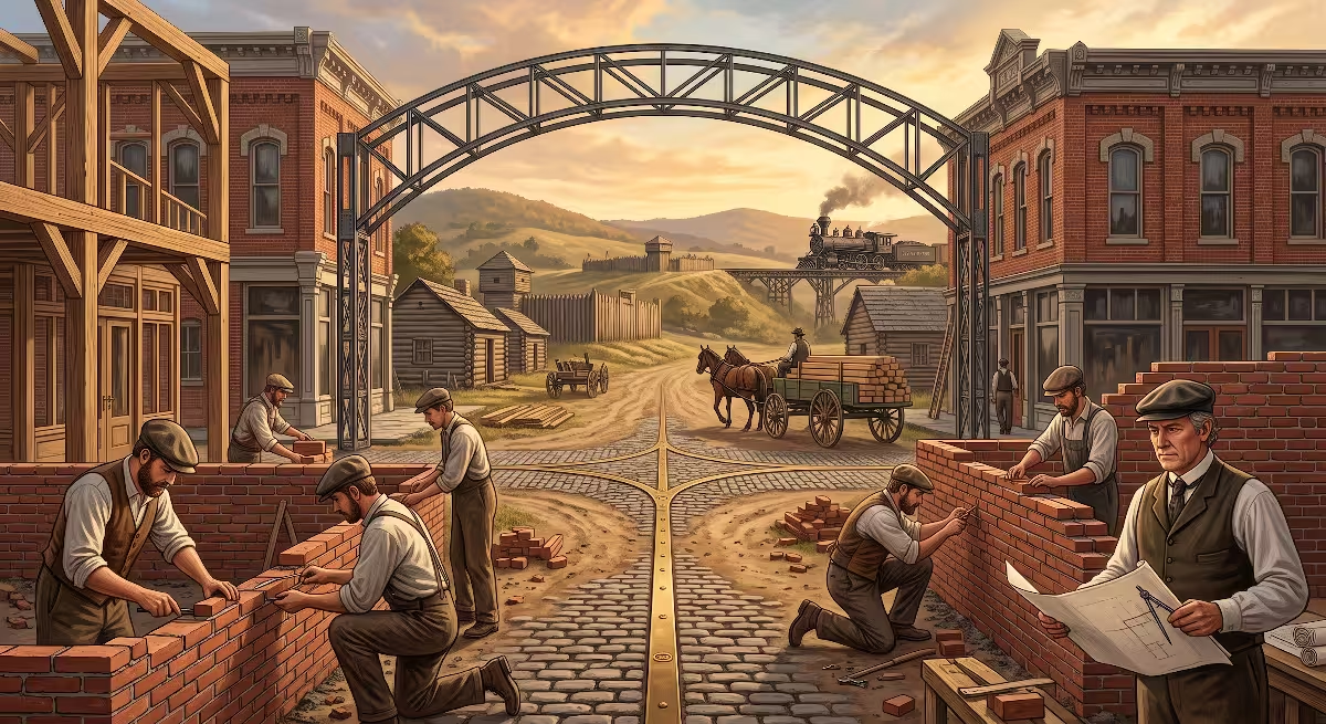
Following the end of the Civil War, Elijah Simerly began laying out a formal town plan across his valley property. In the late 1860s, he surveyed the ground, marked out broad streets, and divided the land into commercial and residential lots. This planned settlement was the beginning of Hampton, TN as a recognized town.
A common question people ask when researching local history is: How did Hampton, TN get its name?
Elijah Simerly named the town of Hampton, TN in honor of his beloved wife, Mary Hampton Simerly. Mary came from a respected local family, and Simerly wanted to create an enduring tribute to her. By giving her family name to the new settlement, he permanently established Hampton, TN on the map of Carter County.
Simerly did not just draw property lines; he envisioned a complete civic community. He donated land in Hampton, TN for churches, public schools, and community cemeteries. He set aside space for local stores, a blacksmith shop, and merchant offices along the main roadway.
The street plan of Hampton, TN was laid out with common sense and careful engineering. Simerly designed the avenues to run parallel to the natural flow of the Doe River and Laurel Fork. This layout allowed gravity to help with drainage while keeping the primary homes and businesses on elevated alluvial terraces safely above the normal seasonal high water mark.
As word spread that lots were available in Hampton, TN, families moved in from surrounding hollows and neighboring counties. The town quickly grew from a quiet farming crossroads into an active village filled with carpenters, coopers, teamsters, and small merchants. The birth of Hampton, TN was an intentional effort to bring modern commerce and civic order to a rugged mountain gap.
Engineering Marvels: The Tweetsie Railroad and Laurel Fork Timber Boom
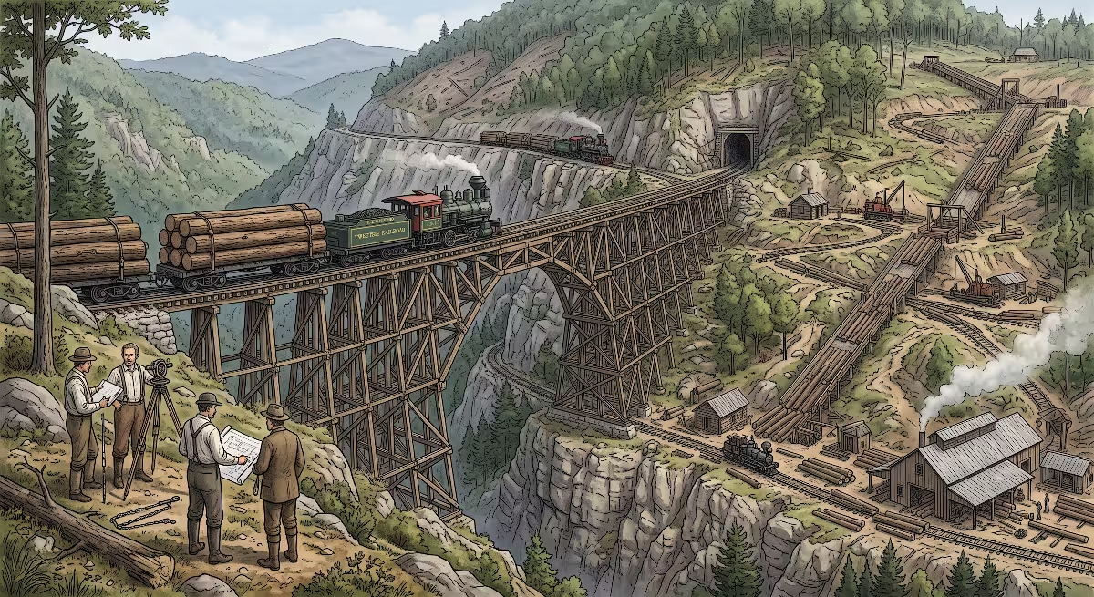
The true commercial awakening of Hampton, TN arrived with the iron rail. In the late 1860s, regional leaders realized that vast deposits of high grade iron ore sat waiting at Cranberry, North Carolina, just over the mountain from Carter County. To bring that iron ore to furnaces in Johnson City, a railroad had to be built straight through the rugged Blue Ridge Mountains.
Elijah Simerly served as the president of the East Tennessee and Western North Carolina Railroad, known to generations of locals simply as the ET&WNC, or affectionate nicknames like the Tweetsie. Under Simerly’s leadership, the railroad pushed its narrow gauge tracks south from Elizabethton directly through Hampton, TN.
Choosing narrow gauge tracks was a brilliant engineering decision for the route through Hampton, TN. Standard gauge tracks use rails spaced four feet, eight and a half inches apart, which requires wide turns and gentle grades. Narrow gauge tracks are spaced only three feet apart. This compact width allowed the railroad to hug tight mountain curves, wind along narrow river gorges, and climb steep mountain grades that standard trains could never manage.
Just above Hampton, the railroad faced its greatest physical obstacle: the Doe River Gorge. The river cut through solid granite cliffs that rose hundreds of feet into the air. Civil engineers and laborers blasted their way through the gorge using black powder, picks, and shovels. They carved five tunnels directly out of solid rock and built wooden trestles that hung high above the roaring river. Hampton, TN served as the operational staging ground for this massive engineering feat.
When the line opened, the train whistle echoing through the valley gave the railroad its famous nickname: Tweetsie. The trains stopped right in Hampton, TN, bringing passengers, mail, manufactured goods, and newspapers into town every single day.
The railroad opened up another massive industry in Hampton: commercial timber harvesting. Before the railroad, loggers had to float individual logs down the Doe River during spring floods, which was dangerous and destroyed a great deal of wood. With the railroad running through Hampton, TN, timber companies could move millions of board feet of lumber straight to regional markets.
A secondary rail line, the Laurel Fork Railway, was constructed out of Hampton to push into the virgin timber stands of Dennis Cove and the Laurel Fork valley. Sawmills sprang up along the waterways of Hampton. The valley filled with the constant buzz of circular saws, the smell of fresh green sawdust, and the rumble of flatcars stacked high with hardwood lumber.
Living in Hampton along a mountain river also brought serious natural challenges. The Doe River has a steep, rocky watershed. When heavy rains fell on Roan Mountain, water rushed into the riverbed. In 1901, and again during the catastrophic flood of August 1940, massive walls of water tore through the Doe River Gorge and into Hampton, TN. The 1940 flood washed away railroad trestles, destroyed bridges, and flooded homes across Hampton, TN. The flood damage was so severe that the railroad eventually abandoned its mountain tracks above the town, closing an unforgettable chapter in the industrial history of Hampton, TN.
Architectural Landmark: The Simerly-Butler Mansion
Every historic town has a building that serves as its architectural heart. For Hampton, TN, that structure is the Simerly-Butler Mansion, commonly known to locals simply as the Butler Mansion.
Built in 1867 by Elijah Simerly, this grand residence stands as proof of the wealth and civic ambition that the railroad and timber boom brought to Hampton, TN. As an engineer and builder, I look at the Butler Mansion and see a masterclass in nineteenth-century residential construction.
The mansion was built in the Italianate style, which was popular in major cities across the United States after the Civil War but quite rare in mountain communities like Hampton, TN. The home features classic Italianate details:
- Deep overhanging roof eaves supported by decorative, hand-carved wooden brackets
- Tall, narrow windows designed to let in natural daylight and catch cooling mountain breezes
- A formal, two-story front porch with detailed ornamental woodwork
- A symmetric central hall floor plan with soaring eleven-foot ceilings
- Multiple brick chimneys connected to hand-built fireplaces in every major room
The materials used in the Butler Mansion tell the story of local resources around Hampton, TN. Simerly used old growth heart pine and white oak for the framing members. The structural timbers were not lightweight two-by-fours like we use today; they were heavy, true-dimensional lumber, hand-hewn and rough-sawn at local water-powered mills. The foundation was constructed from local fieldstone and river rock gathered from the Doe River in Hampton, TN, laid up with thick lime-based mortar.
Elijah Simerly spared no expense, but financial troubles tied to the railroad forced him to sell the property. Over the decades, the home had several prominent owners. At one point, it was owned by Nathaniel Edwin Harris, who spent his early career in East Tennessee and later became the Governor of Georgia.
Eventually, the home was purchased by the Butler family, prominent Carter County merchants and landowners who gave the home its long-standing local name. The Butler Mansion was placed on the National Register of Historic Places, recognizing its architectural and historical importance to Hampton, TN and the entire state of Tennessee.
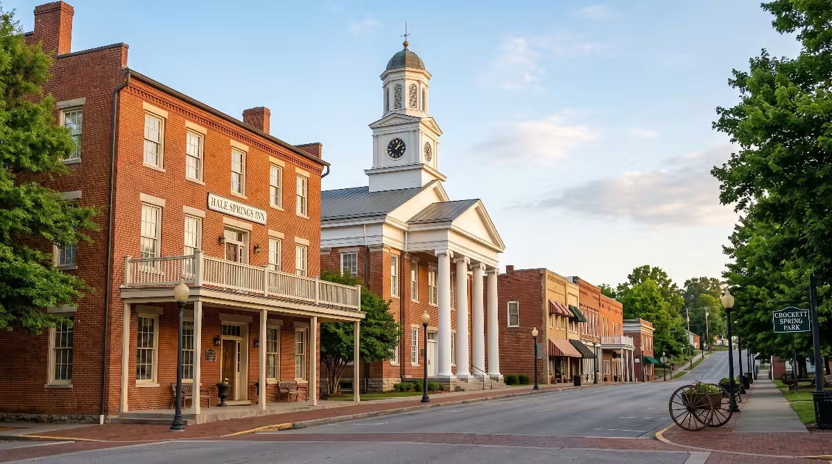
Beyond the Butler Mansion, the everyday architecture of Hampton, TN reflects the practical lives of working people. Along 1st Avenue and the back roads of Hampton, TN, you find traditional Appalachian vernacular homes. These include classic saddlebag and dogtrot homes that were later sided, turn-of-the-century folk Victorian farmhouses with simple turned porch posts, and cozy Craftsman bungalows built during the 1920s and 1930s. Each of these homes was built using local timber, sitting on sturdy river-rock foundations that have weathered a century of mountain seasons in Hampton, TN.
Mid-Century Shifts: TVA, Conservation, and The Cherokee National Forest
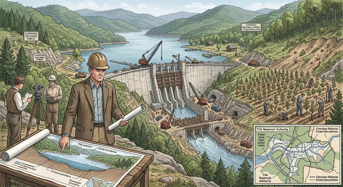
The mid-twentieth century brought enormous economic and environmental transformations to Hampton, TN. The industrial era had stripped the mountainsides of their virgin timber. Unchecked logging on the steep slopes around Hampton, TN led to topsoil erosion, mudslides, and worse flooding along the Doe River.
The federal government recognized that these mountain watersheds needed urgent protection. In 1936, President Franklin D. Roosevelt established the Cherokee National Forest, which completely surrounds Hampton today. The United States Forest Service purchased hundreds of thousands of cut-over acres. Civilian Conservation Corps crews went to work planting seedlings, stabilizing stream banks, and carving out fire roads in the mountains surrounding Hampton, TN.
This conservation effort shifted Hampton, TN away from heavy extraction and toward preservation. The slopes of Jenkins Mountain, Cedar Mountain, and Pond Mountain were allowed to heal. Over the decades, the forests around Hampton regrew into lush, healthy woodlands filled with oak, poplar, hickory, and mountain laurel.
At the same time, the Tennessee Valley Authority, or TVA, launched an ambitious engineering project right in the backyard of Hampton, TN. In 1942, the TVA began construction on Watauga Dam, located just northeast of Hampton on the Watauga River.
The creation of Watauga Lake was an astonishing feat of civil engineering. The project required the complete relocation of a neighboring Carter County community: the town of Old Butler. In 1948, the TVA closed the gates of the dam, and the waters of Watauga Lake covered the old town site completely, earning it the enduring name of the town that would not drown.
The construction of Watauga Dam brought a huge economic boost to Hampton, TN. Hundreds of construction workers, heavy equipment operators, and engineers rented rooms, bought groceries, and lived with their families in Hampton, TN. When the lake was filled, Hampton, TN became the primary southwestern gateway to one of the cleanest, most scenic mountain reservoirs in the entire country. The town was no longer a place of raw sawmills; Hampton, TN was becoming a sanctuary for outdoor recreation.
Modern Hampton: Outdoor Capital and The Tweetsie Trail Legacy
Today, Hampton has reinvented itself once again. While it honors its deep heritage in timber and rails, Hampton, TN is best known across the region as an outdoor recreation hub.
The same natural features that drew early hunters and rail engineers to Hampton, TN now bring hikers, anglers, and vacationers from all over the world.
- The Appalachian Trail winds directly across the high ridges just east of Hampton, TN. The trail passes through Dennis Cove and crosses the Laurel Fork River, leading hikers through the Laurel Fork Gorge to Laurel Falls, an eighty-foot waterfall located right near Hampton.
- The Doe River Gorge, where narrow gauge steam engines once pulled iron ore, is now home to Doe River Gorge Ministries. This Christian camp and retreat center has preserved miles of the historic railbed, original rock tunnels, and towering trestles above Hampton, allowing young visitors to ride vintage trains through the canyon.
- Watauga Lake sits minutes away from Hampton, TN. Boaters, kayakers, and fishermen access the water at nearby Fish Springs Marina, making Hampton the perfect launching point for summer lake life.
- Fly fishing on the Doe River has become a premier regional sport. Cold mountain waters support wild brown and rainbow trout right through the heart of Hampton.
Another exciting modern development is the continuing legacy of the Tweetsie Railroad. Decades after the tracks were pulled up, the rail corridor was reimagined as the Tweetsie Trail. This popular rails-to-trails project already connects Johnson City to Elizabethton. Local leaders and community planners have worked toward extending the trail system directly into Hampton, TN.
Transforming the historic railbed into a community walking and biking trail honors the engineering history of Hampton, TN while giving residents and visitors a healthy, scenic way to enjoy the mountain valley. Hampton, TN has successfully balanced its rich historical roots with a thriving, active, outdoor-focused modern identity.
The Builder’s Perspective: What Hampton’s Past Teaches Modern Homeowners
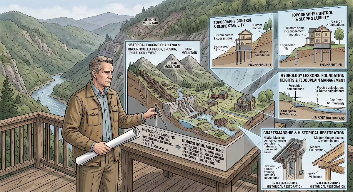
For folks looking to build a custom home in East Tennessee, it always helps to pay attention to local history. The historical record tells you where the water flows, where the wind blows, and how the soil behaves under a heavy foundation. There are important lessons in the history of Hampton, TN that apply directly to modern residential construction.
Topography, Hydrology, and Site Planning
The valley of Hampton, TN is shaped like a funnel. Rainwater falling on thousands of acres of steep national forest drains down into Laurel Fork, the Little Doe, and the Doe River. If you plan to build a home on the valley floor in Hampton, TN, your number one design consideration must be surface water management and flood elevations.
Before you buy a parcel or dig a foundation in Hampton, TN, pull the Federal Emergency Management Agency flood map for Carter County. You must identify whether the property sits in the floodway, the 100-year flood zone, or the 500-year flood zone.
When building custom homes in areas like Hampton, TN, we always design the finished floor elevation to sit well above the base flood elevation. We use modern civil site work techniques:
- Installing swales and French drains to catch sheet runoff coming down from steep mountain ridges
- Grading the finished yard with a minimum six-inch drop in the first ten feet away from the foundation walls
- Preserving native vegetation along stream banks to keep soil in place during heavy spring runoff
Geotechnical Realities and Foundation Types
The ground under Hampton, TN changes dramatically depending on whether you are building in the valley flat or up on the hillside.
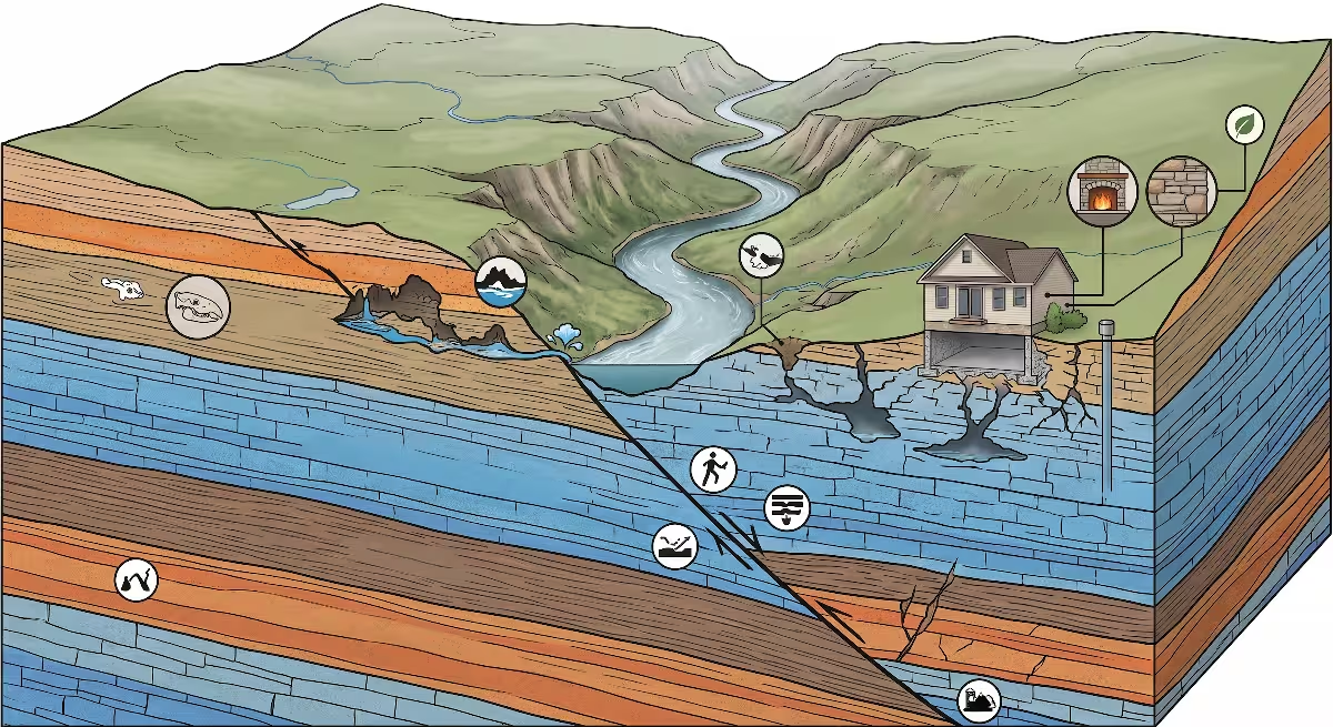
In the bottomlands of Hampton, TN, the soil is alluvial. That means it consists of thousands of years of river-deposited silt, sand, and rounded river rock. Alluvial soil has great drainage, but it can have uneven load-bearing capacity. When we pour concrete footings for a custom home in the lower areas of Hampton, TN, we dig down to undisturbed native soil and verify our load-bearing capacity with a penetrometer. We often widen our footing profile and add continuous rebar to bridge any soft pockets in the soil.
If you build on the mountain slopes around Hampton, TN, you run into the opposite condition: shallow bedrock. The Unaka Mountains are composed of dense quartzite, granite, and sandstone. Digging a full basement on a hillside in Hampton, TN might require heavy hydraulic hammers or controlled blasting to break through rock shelves.
On hillside sites in Hampton, TN, a step-down walkout basement or an engineered stem wall system is often the most cost-effective foundation choice. We use waterproof membranes, rigid insulation, and dimpled drain mats on all below-grade foundation walls. Hydrostatic pressure from groundwater moving downhill against a basement wall is a serious force in Hampton, TN; you must relieve that pressure with perforated footing drains tied to daylight.
Framing, Timber, and Structural Loads
Historic builders in Hampton, TN used thick, rough-sawn local timber that carried incredible weight. When we build custom homes in Hampton, TN today, we use modern engineered lumber like laminated veneer lumber beams and open-web floor trusses. These modern materials give us the open, flexible floor plans that buyers want while providing engineered load paths down to the foundation.
Building in the mountains around Hampton, TN also requires attention to regional weather loads:
- Ground Snow Loads: The higher elevations surrounding Hampton, TN receive heavier snowfall than downtown Johnson City or Kingsport. Roof trusses must be engineered for minimum local snow loads to prevent deflection.
- Mountain Wind Exposures: Valleys like Hampton, TN can experience high wind gusts when storms funnel through the mountain gaps. We use hurricane ties and structural sheathing fastening patterns to tie the roof system down to the wall framing and anchor the walls to the concrete foundation.
Utilities: Wells, Septic, and Unincorporated Building
Hampton is an unincorporated community in Carter County. That means you will work directly with the Carter County Planning Commission and the Tennessee Department of Environment and Conservation for building permits and site approvals.
While public water lines run along major roads like Highway 19E in Hampton, TN, many scenic building sites on the ridges require private water wells. The deep limestone and granite aquifers in Hampton, TN typically yield clear, delicious mountain water, but drilling depths can vary from 150 feet to over 500 feet depending on your elevation.
Most custom home sites in Hampton, TN require private on-site septic systems. Before buying vacant land, you must obtain an official soil map and septic perk test from the local environmental specialist. The rocky, steep terrain around Hampton, TN means you need adequate reserve area for conventional gravel-and-pipe or chambered leach fields.
Understanding these physical and legal realities ensures that your dream home in Hampton, TN will remain safe, dry, and structurally sound for generations, just like the historic homes that came before it.
Frequently Asked Questions About Hampton, TN
Over the years, folks interested in Carter County history, outdoor adventures, and local real estate have asked plenty of questions about Hampton, TN. Here are clear answers to the most common questions:
Where is Hampton, TN located?
Hampton is located in the northeastern corner of Tennessee in central Carter County. It sits along the Doe River, approximately six miles southeast of Elizabethton, Tennessee, and about twenty miles east of Johnson City, Tennessee. The North Carolina state line is roughly twenty miles south along Highway 19E.
Is Hampton, TN an incorporated city?
No, Hampton is not an incorporated municipality. It is classified as an unincorporated community and a census-designated place. Local roads, emergency services, zoning rules, and public services are administered directly by the Carter County government and local utility districts.
What county is Hampton, TN in?
Hampton is in Carter County, Tennessee. The county seat is Elizabethton, where the historic Carter County Courthouse and primary county offices are located.
What railroad ran through Hampton, TN?
The most famous railroad to serve Hampton was the East Tennessee and Western North Carolina Railroad, also known as the ET&WNC or the Tweetsie. It operated as a narrow gauge railroad hauling iron ore, timber, and passengers through Hampton, TN between Johnson City, Tennessee, and Cranberry, North Carolina.
What is the Butler Mansion in Hampton, TN?
The Butler Mansion is an Italianate historic home built in Hampton, TN in 1867 by Elijah Simerly. It features detailed woodwork, bracketed roof eaves, and native stone foundations. Later owned by the Butler family, it is listed on the National Register of Historic Places and stands as a major architectural landmark in Hampton, TN.
What outdoor activities is Hampton, TN known for today?
Hampton is famous for world-class outdoor recreation. It serves as a direct access point for the Appalachian Trail, hiking at Laurel Falls, boating and fishing on nearby Watauga Lake, trout fishing on the Doe River, and Christian outdoor youth programs at the historic Doe River Gorge.
The Enduring Character of the Doe River Valley
When you spend an afternoon walking through Hampton, TN, you feel a connection to history that is rare in today’s fast-paced world. Hampton, TN has never become an overcrowded tourist trap or a sprawling suburban commercial strip. The natural boundaries of Jenkins Mountain, Cedar Mountain, and the protected lands of the Cherokee National Forest have preserved the intimate, small-town character of Hampton, TN.
The story of Hampton, TN is written into every layer of its physical landscape:
- The cool river waters of the Doe River and Laurel Fork remind us of the Native Americans who first walked these mountain gaps and the pioneer millwrights who harnessed the currents.
- The wide road beds and stone rail cuts remind us of Elijah Simerly, the Tweetsie Railroad, and the tough crews who opened up the Doe River Gorge with steel rails and steam engines.
- The stately Butler Mansion reminds us of the craftsmanship, local timber, and architectural pride of the post-Civil War boom in Hampton, TN.
- The surrounding green slopes remind us of the forward-thinking conservationists who planted trees, established the Cherokee National Forest, and built Watauga Dam.
For anyone who loves East Tennessee, the history of Hampton, TN offers an inspiring example of human community living in balance with raw mountain beauty. Whether you are visiting to hike the mountain trails, fly fish for trout in the Doe River, or build a custom mountain home that will shelter your family for the next fifty years, Hampton, TN welcomes you with open arms and a rich, enduring mountain legacy.